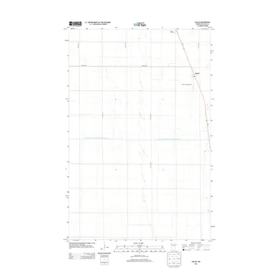
2013 Map of Euclid
USGS Topo · Published 2013About this map
Euclid stands as the primary settlement in this northwestern Minnesota landscape, defined by the straight-line geometry of the Red River Valley. This agricultural region is meticulously partitioned by a grid of rural roads, including 320th Ave SW and 130th St SW, which facilitate the movement of local crops and machinery. A notable aspect of the local infrastructure is the County Ditch Number One Hundred Twentysix, reflecting the extensive drainage systems required to manage the flat, fertile plains of Polk County. The town site itself is concentrated along Us-75, featuring a central Po (Post Office) and proximity to the Stewart Farms Airport, signaling the area's continued reliance on both ground and air transport for its modern farming economy. To the north, the Prairie View Cem serves as a quiet landmark for local genealogical study.
Find a feature on this map
12 named features on this map. Tap any name to fly to it.
Don’t see what you’re looking for? This feature index may not catch every label — zoom into the map to look around manually.
Map Details
Editions of this 2013 Euclid Map
This is the sole edition of this map. No revisions or reprints were ever made.
Other maps of this area

1918 · Angus
USGS Topo · 1:62,500

1918 · Warren
USGS Topo · 1:62,500

1952 · Grand Forks
USGS Topo · 1:250,000

1952 · Thief River Falls
USGS Topo · 1:250,000

1953 · Crookston
USGS Topo · 1:62,500

1955 · Warren
USGS Topo · 1:62,500

1956 · Thief River Falls
USGS Topo · 1:250,000

1956 · Grand Forks
USGS Topo · 1:250,000

1957 · Thief River Falls
USGS Topo · 1:250,000
1961 · Angus SE
USGS Topo · 1:24,000