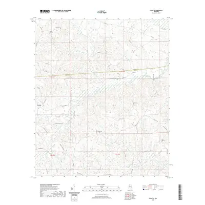
2020 Map of Eucutta
USGS Topo · Published 2020About this map
Eucutta sits at the intersection of local history and timber land within the Pine Belt of Mississippi, straddling the border of Clarke and Wayne counties. This landscape is defined by its deep network of creeks and branches, including Eucutta Creek, Beaverdam Creek, and Bogue Flower, which carve through the terrain. The settlement pattern is largely decentralized, marked by family and community landmarks such as Sugar Hill and a series of rural burying grounds. Genealogists will find a concentration of local burial sites including Beaverdam Cem, Pleasant Grove Cem, and Evergreen Cem. The road network, comprising routes like Shubuta Eucutta Rd and Springhill Church Rd, suggests a long-established rural community oriented around these small centers. A notable Logging Rd near Powell Cem points to the area's ongoing connection to the local forestry industry.
Find a feature on this map
67 named features on this map. Tap any name to fly to it.
Don’t see what you’re looking for? This feature index may not catch every label — zoom into the map to look around manually.
Map Details
Editions of this 2020 Eucutta Map
This is the sole edition of this map. No revisions or reprints were ever made.
Other maps of this area

1953 · Hattiesburg
USGS Topo · 1:250,000

1958 · Hattiesburg
USGS Topo · 1:250,000

1963 · Heidelberg
USGS Topo · 1:24,000

1964 · Heidelberg SW
USGS Topo · 1:24,000

1964 · Eucutta
USGS Topo · 1:24,000

1964 · Myrick
USGS Topo · 1:24,000

1964 · Hale
USGS Topo · 1:24,000

1964 · De Soto
USGS Topo · 1:24,000

1964 · Waynesboro
USGS Topo · 1:24,000

1964 · Whistler
USGS Topo · 1:24,000