
Loading...
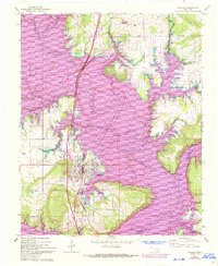
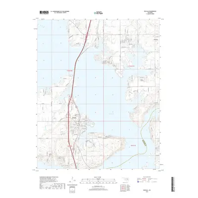
Loading map...1978 Map of Eufaula
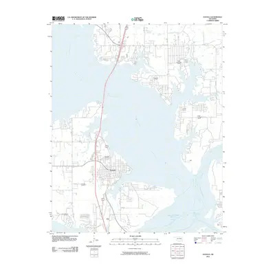
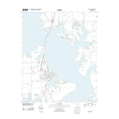
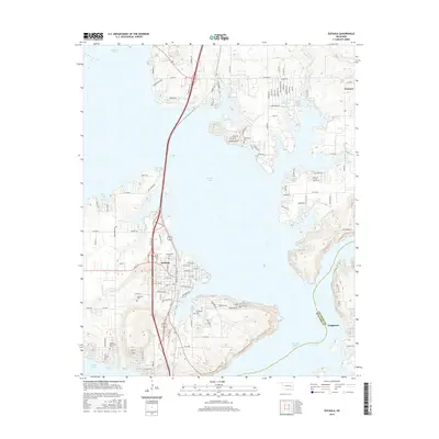
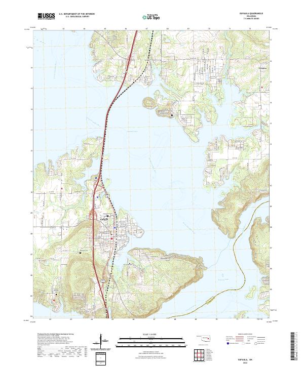
USGS Topo · Published 1979About this map
Eufaula Lake dominates this Oklahoma landscape, its dendritic shoreline winding through the timbered hills of the Sans Bois Mountains and Beaver Mountain. This late-1970s record shows the region following the massive inundation of the Canadian River and North Canadian River valleys, with Fountainhead State Park and Arrowhead State Park established as major recreational hubs on the water.
Find a feature on this map
73 named features on this map. Tap any name to fly to it.
Don’t see what you’re looking for? This feature index may not catch every label — zoom into the map to look around manually.
Map Details
Date Portrayed1978
Date Published1979
PublisherU.S. Geological Survey
Map TypeTopographic
Scale1:100,000
Physical Dimensions45.2 x 25 inches
Editions of this 1978 Eufaula Map
This is the sole edition of this map. No revisions or reprints were ever made.
Historical Maps of Henryetta Through Time
7 maps found
Featured Locations
Source Details
SourceU.S. Geological Survey
CopyrightPublic Domain