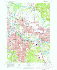
1967 Map of Eugene East
USGS Topo · Published 1977About this map
The Willamette River and its multiple forks and sloughs anchor this mid-century survey of the Eugene and Springfield metropolitan area. The landscape is defined by the sharp contrast between the burgeoning urban core and prominent geographic landmarks like Skinner Butte and Gillespie Butte. In the heart of the city, the newly constructed Autzen Stadium and the Sacred Heart General Hospital reflect a period of significant institutional growth. The map tracks the expansion of the regional infrastructure, from the Pacific Highway to the winding course of the McKenzie River in the north.
Find a feature on this map
168 named features on this map. Tap any name to fly to it.
Don’t see what you’re looking for? This feature index may not catch every label — zoom into the map to look around manually.
Map Details
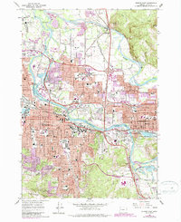
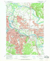
Editions of this 1967 Eugene East Map
3 editions found
Other maps of this area

1910 · Eugene
USGS Topo · 1:62,500

1921 · Cottage Grove
USGS Topo · 1:62,500

1935 · Lowell
USGS Topo · 1:96,000

1940 · Eugene
USGS Topo · 1:62,500

1942 · Lowell
USGS Topo · 1:125,000

1946 · Eugene
USGS Topo · 1:62,500

1949 · Eugene
USGS Topo · 1:62,500

1950 · Marcola
USGS Topo · 1:62,500

1952 · Marcola
USGS Topo · 1:62,500

1953 · Salem
USGS Topo · 1:250,000