
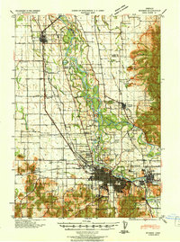
1940 Map of Eugene
USGS Topo · Published 1940About this map
The Willamette River and McKenzie River converge in this 1940 tactical survey, illustrating the hydraulic and transport foundations of the southern Willamette Valley. The urban centers of Eugene and Springfield are shown in significant detail, revealing the street grids and industrial footprints before the post-war suburban expansion. Transport is dominated by the Southern Pacific and Oregon Electric railroads, which linked the agricultural hinterlands to the growing city cores.
Find a feature on this map
59 named features on this map. Tap any name to fly to it.
Don’t see what you’re looking for? This feature index may not catch every label — zoom into the map to look around manually.
Map Details
Editions of this 1940 Eugene Map
2 editions found
Other maps of this area

1909 · Harrisburg
USGS Topo · 1:31,680

1909 · Rowland
USGS Topo · 1:31,680

1909 · Elmira
USGS Topo · 1:62,500

1910 · Eugene
USGS Topo · 1:62,500

1911 · Monroe
USGS Topo · 1:31,680

1912 · Halsey
USGS Topo · 1:62,500

1921 · Brownsville
USGS Topo · 1:62,500

1921 · Cottage Grove
USGS Topo · 1:62,500

1922 · Monroe
USGS Topo · 1:62,500

1922 · Elmira
USGS Topo · 1:62,500