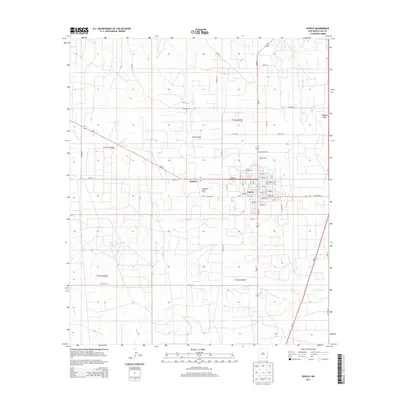
2013 Map of Eunice
USGS Topo · Published 2013About this map
The Eunice townsite and its surrounding energy infrastructure define the landscape in this southeastern New Mexico survey. Located at the intersection of Nm-18 and Nm-8, the community is deeply connected to the industrial activity of the Monument Jal Oil Field, which dominates the local geography. The grid of the town is clearly established, showing the transition from the core residential streets like Texas Ave and Avenue R to the arterial Eunice Byp.
Find a feature on this map
53 named features on this map. Tap any name to fly to it.
Don’t see what you’re looking for? This feature index may not catch every label — zoom into the map to look around manually.
Map Details
Editions of this 2013 Eunice Map
This is the sole edition of this map. No revisions or reprints were ever made.
Other maps of this area

1954 · Hobbs
USGS Topo · 1:250,000

1958 · Hobbs
USGS Topo · 1:250,000

1963 · Oil Center
USGS Topo · 1:62,500

1963 · Monument
USGS Topo · 1:62,500

1969 · Hobbs SW
USGS Topo · 1:24,000

1969 · Eunice
USGS Topo · 1:24,000

1969 · Hobbs SE
USGS Topo · 1:24,000

1969 · Eunice NE
USGS Topo · 1:24,000

1969 · Eunice SE
USGS Topo · 1:24,000

1969 · Rattlesnake Canyon
USGS Topo · 1:24,000