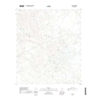
2019 Map of Eunice
USGS Topo · Published 2019About this map
Beaver Dam Cem sits at the center of this rural Leon County landscape, situated among a complex network of creeks and drainage basins. The area is defined by its significant wetlands, notably the expansive Beaver Dam Marsh and several sloughs such as Pecan Slough and Busch Slough. This 2019 survey shows a geography shaped by water, where Beaver Dam Cr and Dixon Creek wind through the terrain alongside local landmarks like the Dillard Ranch Airport.
Find a feature on this map
68 named features on this map. Tap any name to fly to it.
Don’t see what you’re looking for? This feature index may not catch every label — zoom into the map to look around manually.
Map Details
Editions of this 2019 Eunice Map
This is the sole edition of this map. No revisions or reprints were ever made.
Other maps of this area

1953 · Palestine
USGS Topo · 1:250,000

1957 · Palestine
USGS Topo · 1:250,000

1964 · Austonio
USGS Topo · 1:24,000

1964 · Centerville
USGS Topo · 1:24,000

1964 · Flo
USGS Topo · 1:24,000

1964 · Eunice
USGS Topo · 1:24,000

1964 · Middleton
USGS Topo · 1:24,000

1964 · Halls Bluff
USGS Topo · 1:24,000

1964 · Lake Leon
USGS Topo · 1:24,000

1964 · Leona
USGS Topo · 1:24,000