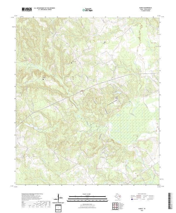
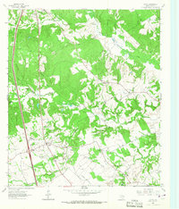
2022 Map of Eunice
USGS Topo · Published 2022About this map
Hillfield and Hopewell cemeteries serve as primary landmarks for this portion of Leon County, where the landscape is defined by the complex drainage systems of the Trinity River basin. Small rural burial grounds like Hillfield Cem and Hopewell Cem offer essential points of reference for genealogists tracing local family histories in this part of Texas. The terrain is characterized by a high density of secondary waterways and marshes, including Beaver Dam Marsh and the sluggish waters of Busch Slough.
Find a feature on this map
69 named features on this map. Tap any name to fly to it.
Don’t see what you’re looking for? This feature index may not catch every label — zoom into the map to look around manually.
Map Details
Editions of this 2022 Eunice Map
This is the sole edition of this map. No revisions or reprints were ever made.
Other maps of this area

1953 · Palestine
USGS Topo · 1:250,000

1957 · Palestine
USGS Topo · 1:250,000
1964 · Austonio
USGS Topo · 1:24,000
1964 · Centerville
USGS Topo · 1:24,000
1964 · Flo
USGS Topo · 1:24,000
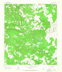
1964 · Eunice
USGS Topo · 1:24,000
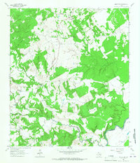
1964 · Middleton
USGS Topo · 1:24,000
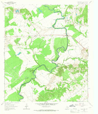
1964 · Halls Bluff
USGS Topo · 1:24,000
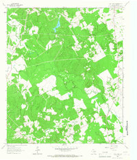
1964 · Lake Leon
USGS Topo · 1:24,000
1964 · Leona
USGS Topo · 1:24,000