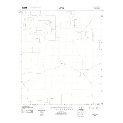
2010 Map of Eunice SE
USGS Topo · Published 2010About this map
The Drinkard Oil Field and surrounding energy deposits define the industrial landscape of this 2010 survey along the Texas-New Mexico border. This corner of Lea County is characterized by a dense network of service roads and pipeline corridors serving the Paddock South Oil Field, Freund Oil Field, and Nelson Oil Field. The terrain is marked by the subtle path of Monument Draw, which cuts through the high plains toward the Stateline Oil Field in the south. Amidst this concentrated petroleum infrastructure, the Goins Ranch stands as a notable landmark of the region's ranching heritage. Local transit is managed via thoroughfares such as Drinkard Rd and Sw 200, illustrating how modern energy extraction and traditional land use coexist in the Llano Estacado.
Find a feature on this map
9 named features on this map. Tap any name to fly to it.
Don’t see what you’re looking for? This feature index may not catch every label — zoom into the map to look around manually.
Map Details
Editions of this 2010 Eunice SE Map
This is the sole edition of this map. No revisions or reprints were ever made.
Other maps of this area

1954 · Hobbs
USGS Topo · 1:250,000

1958 · Hobbs
USGS Topo · 1:250,000

1969 · Jal NE
USGS Topo · 1:24,000

1969 · Eunice
USGS Topo · 1:24,000

1969 · Eunice NE
USGS Topo · 1:24,000

1969 · Eunice SE
USGS Topo · 1:24,000

1969 · Jal NW
USGS Topo · 1:24,000

1969 · Rattlesnake Canyon
USGS Topo · 1:24,000

1971 · Jumbo Hill
USGS Topo · 1:24,000

1971 · Figure Seven Ranch
USGS Topo · 1:24,000