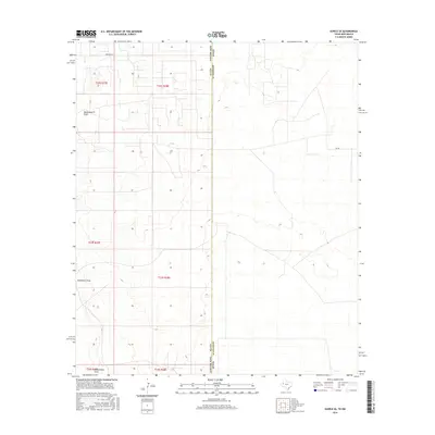
2016 Map of Eunice SE
USGS Topo · Published 2016About this map
Monument Draw defines the arid topography of this West Texas and New Mexico borderlands region. In the mid-2010s, this landscape is primarily organized by the Public Land Survey System, with the grid lines of t22s r38e and neighboring townships etched across the high desert. The straight paths of Drinkard Rd and Sw 200 cut through the terrain, reflecting the modern industrial and ranching access required in this corner of Lea and Andrews Counties. The map records a sparse, functional environment where the natural drainage of the draw is the primary landmark amidst a network of secondary roads and section boundaries.
Find a feature on this map
11 named features on this map. Tap any name to fly to it.
Don’t see what you’re looking for? This feature index may not catch every label — zoom into the map to look around manually.
Map Details
Editions of this 2016 Eunice SE Map
This is the sole edition of this map. No revisions or reprints were ever made.
Other maps of this area

1954 · Hobbs
USGS Topo · 1:250,000

1958 · Hobbs
USGS Topo · 1:250,000

1969 · Jal NE
USGS Topo · 1:24,000

1969 · Eunice
USGS Topo · 1:24,000

1969 · Eunice NE
USGS Topo · 1:24,000

1969 · Eunice SE
USGS Topo · 1:24,000

1969 · Jal NW
USGS Topo · 1:24,000

1969 · Rattlesnake Canyon
USGS Topo · 1:24,000

1971 · Jumbo Hill
USGS Topo · 1:24,000

1971 · Figure Seven Ranch
USGS Topo · 1:24,000