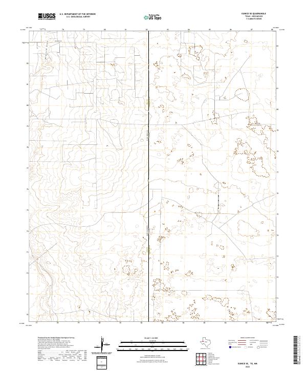
2022 Map of Eunice SE
USGS Topo · Published 2022About this map
Monument Draw cuts through the High Plains landscape of the Permian Basin, marking the primary natural drainage in this arid borderland between Texas and New Mexico. This 2022 survey captures the geometric precision of the oil-producing region, defined by an extensive grid of service roads and section lines. The map documents the political boundary where New Mexico and Texas meet, specifically the intersection of Lea County and Andrews County. While few named landmarks appear on the surface, the dense network of local routes like Drinkard Rd and Sw 200 highlights the intense industrial use of the land, supporting the energy infrastructure that has long defined the local economy and land-use patterns in this corner of the Llano Estacado.
Find a feature on this map
11 named features on this map. Tap any name to fly to it.
Don’t see what you’re looking for? This feature index may not catch every label — zoom into the map to look around manually.
Map Details
Editions of this 2022 Eunice SE Map
This is the sole edition of this map. No revisions or reprints were ever made.
Other maps of this area

1954 · Hobbs
USGS Topo · 1:250,000

1958 · Hobbs
USGS Topo · 1:250,000

1969 · Jal NE
USGS Topo · 1:24,000

1969 · Eunice
USGS Topo · 1:24,000

1969 · Eunice NE
USGS Topo · 1:24,000

1969 · Eunice SE
USGS Topo · 1:24,000

1969 · Jal NW
USGS Topo · 1:24,000

1969 · Rattlesnake Canyon
USGS Topo · 1:24,000

1971 · Jumbo Hill
USGS Topo · 1:24,000

1971 · Figure Seven Ranch
USGS Topo · 1:24,000