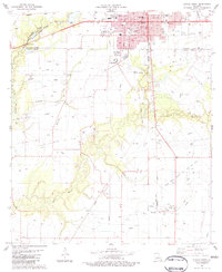
1983 Map of Eunice South
USGS Topo · Published 1983About this map
The boundary between St Landry Parish and Acadia Parish marks the landscape south of Eunice, where the town's expanding residential grid meets a vast agricultural and industrial prairie. This early 1980s survey captures the region's reliance on both petroleum and aviation, anchored by the Riche Oil And Gas Field and the Eunice Municipal Airport. Outside the city, the land is defined by the winding course of Bayou des Cannes and Bayou Mallet, features that historically dictated the placement of small rural outposts like Frey and Mowata.
Find a feature on this map
47 named features on this map. Tap any name to fly to it.
Don’t see what you’re looking for? This feature index may not catch every label — zoom into the map to look around manually.
Map Details
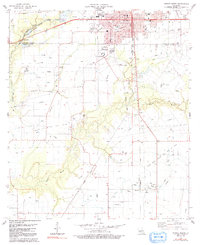
Editions of this 1983 Eunice South Map
2 editions found
Other maps of this area

1935 · Branch
USGS Topo · 1:31,680

1947 · Evangeline
USGS Topo · 1:31,680

1947 · Fruge Lake
USGS Topo · 1:31,680

1947 · Branch
USGS Topo · 1:31,680

1947 · Redland
USGS Topo · 1:31,680

1947 · Chataignier
USGS Topo · 1:31,680

1947 · Eunice
USGS Topo · 1:31,680

1947 · Iota
USGS Topo · 1:31,680

1947 · Pitreville
USGS Topo · 1:31,680

1947 · Basile
USGS Topo · 1:31,680