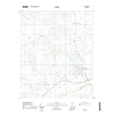
2020 Map of Eupora
USGS Topo · Published 2020About this map
Eupora serves as the primary hub in this central Mississippi landscape, where the Webster County Temporary Courthouse stands as a notable civic landmark. The terrain to the north transitions into more varied elevations, marked by Sand Mtn and Rocky Mtn, providing a distinct contrast to the southern bottomlands. Further north, the small settlement of Walthall sits along Hays Cr, maintaining its character as a rural outpost amidst numerous family cemeteries like Jordons Cem and Hays Cem.
Find a feature on this map
101 named features on this map. Tap any name to fly to it.
Don’t see what you’re looking for? This feature index may not catch every label — zoom into the map to look around manually.
Map Details
Editions of this 2020 Eupora Map
This is the sole edition of this map. No revisions or reprints were ever made.
Other maps of this area
1953 · Walthall
USGS Topo · 1:62,500

1953 · West Point
USGS Topo · 1:250,000

1958 · West Point
USGS Topo · 1:250,000

1963 · West Point
USGS Topo · 1:250,000
1966 · Stewart
USGS Topo · 1:24,000
1966 · Tomnolen
USGS Topo · 1:24,000
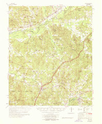
1968 · Weir
USGS Topo · 1:62,500
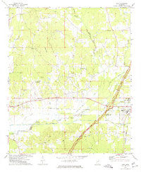
1972 · Sapa
USGS Topo · 1:24,000
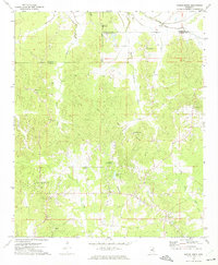
1972 · Hohenlinden
USGS Topo · 1:24,000
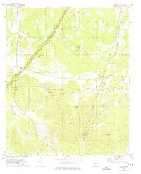
1972 · Reform
USGS Topo · 1:24,000