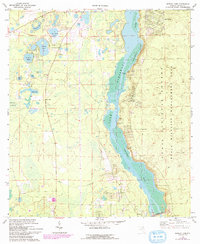
1970 Map of Eureka Dam
USGS Topo · Published 1993About this map
Ocklawaha River and the sprawling waters of Ocklawaha Lake dominate this landscape within the Ocala National Forest Wildlife Management Area. The map documents a period of significant water management in Marion County, anchored by the Eureka Dam at the southern end of the sheet. The settlement patterns reflect a history tied to the river, with several notable landing points including Cracker Landing, Tobacco Patch Landing, and Wells Landing spaced along the eastern shore.
Find a feature on this map
26 named features on this map. Tap any name to fly to it.
Don’t see what you’re looking for? This feature index may not catch every label — zoom into the map to look around manually.
Map Details
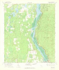
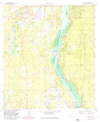
Editions of this 1970 Eureka Dam Map
3 editions found
Other maps of this area

1893 · Citra
USGS Topo · 1:62,500

1895 · Citra
USGS Topo · 1:62,500

1915 · Interlachen
USGS Topo · 1:48,000

1916 · Interlachen
USGS Topo · 1:62,500

1938 · Hawthorn
USGS Topo · 1:48,000

1943 · Hawthorn
USGS Topo · 1:62,500

1944 · Interlachen
USGS Topo · 1:62,500

1949 · Keuka
USGS Topo · 1:24,000

1949 · Rodman
USGS Topo · 1:24,000

1949 · Interlachen
USGS Topo · 1:62,500