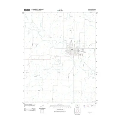
2012 Map of Eureka
USGS Topo · Published 2012About this map
The Fall River and its various tributaries, including the E Br Fall River and W Br Fall River, converge near Eureka, defining the landscape of central Greenwood County. This 2012 survey illustrates a region where municipal infrastructure and recreational spaces sit alongside an active extraction economy. To the east and west of the city center, the Eureka Oil Field and Reece Oil Field signal the ongoing industrial character of the area.
Find a feature on this map
77 named features on this map. Tap any name to fly to it.
Don’t see what you’re looking for? This feature index may not catch every label — zoom into the map to look around manually.
Map Details
Editions of this 2012 Eureka Map
This is the sole edition of this map. No revisions or reprints were ever made.
Other maps of this area

1885 · Eureka
USGS Topo · 1:125,000

1888 · Eureka
USGS Topo · 1:125,000

1894 · Eureka
USGS Topo · 1:125,000

1939 · Severy
USGS Topo · 1:62,500

1941 · Severy
USGS Topo · 1:62,500

1955 · Wichita
USGS Topo · 1:250,000

1958 · Wichita
USGS Topo · 1:250,000

1964 · Piedmont NW
USGS Topo · 1:24,000
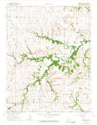
1964 · Piedmont NE
USGS Topo · 1:24,000
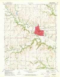
1971 · Eureka
USGS Topo · 1:24,000