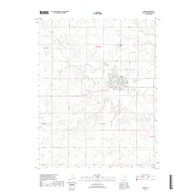
2018 Map of Eureka
USGS Topo · Published 2018About this map
Eureka serves as the focal point of this Greenwood County landscape, where a dense grid of residential streets like N Main St and E 7th St meets the winding course of the Fall River. The settlement is bordered to the northeast by Greenwood Cem and further north by the Lt William M Milliken Airport, reflecting the town's modern infrastructure. Beyond the immediate town limits, the terrain is defined by a network of creeks and river branches, including the East Branch Fall River, Bachelor Cr, and Spring Creek. The rural areas are neatly partitioned by township roads such as Twp Rd 334 and Twp Rd 307, illustrating the enduring influence of the Public Land Survey System on the Kansas prairie. This layout highlights the contrast between the organized urban center and the expansive, water-carved agricultural surroundings.
Find a feature on this map
88 named features on this map. Tap any name to fly to it.
Don’t see what you’re looking for? This feature index may not catch every label — zoom into the map to look around manually.
Map Details
Editions of this 2018 Eureka Map
This is the sole edition of this map. No revisions or reprints were ever made.
Other maps of this area

1885 · Eureka
USGS Topo · 1:125,000

1888 · Eureka
USGS Topo · 1:125,000

1894 · Eureka
USGS Topo · 1:125,000

1939 · Severy
USGS Topo · 1:62,500

1941 · Severy
USGS Topo · 1:62,500

1955 · Wichita
USGS Topo · 1:250,000

1958 · Wichita
USGS Topo · 1:250,000

1964 · Piedmont NW
USGS Topo · 1:24,000
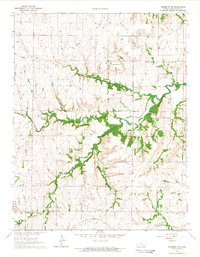
1964 · Piedmont NE
USGS Topo · 1:24,000
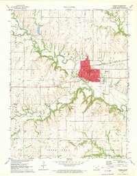
1971 · Eureka
USGS Topo · 1:24,000