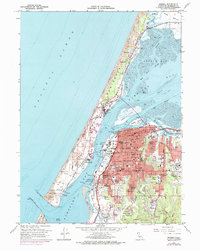
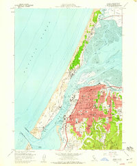
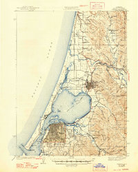
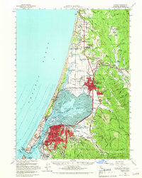
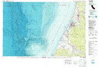
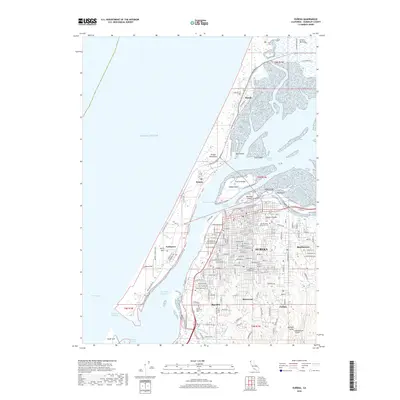
1958 Map of Eureka
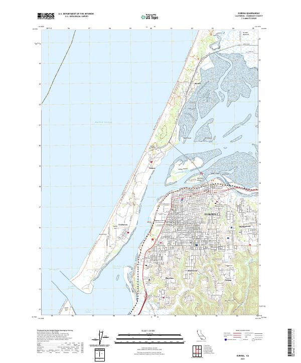
USGS Topo · Published 1974About this map
Humboldt Bay and the complex shoreline of the Samoa Peninsula dominate this mid-century survey, capturing a period of transition for the region's industrial and maritime infrastructure. The urban core of Eureka is shown in detail, expanding southward toward Cutten and Bayview, while the waterfront remains defined by the active Northwestern Pacific Railroad and various docks serving the lumber and shipping trades. On the peninsula, the company town character of Samoa and the settlement of Fairhaven sit nestled between the Sand Dunes and the bay's inner channels. Historical depth is evident at the Fort Humboldt State Historical Monument, which overlooks Bucksport and the entrance to the bay. The map also meticulously records the location of many local landmarks, including Sequoia Park, Myrtle Grove Memorial Cemetery, and numerous neighborhood schools from Jefferson School to Worthington Sch.
Find a feature on this map
61 named features on this map. Tap any name to fly to it.
Don’t see what you’re looking for? This feature index may not catch every label — zoom into the map to look around manually.
Map Details
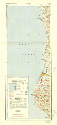
Editions of this 1958 Eureka Map
3 editions found
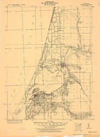
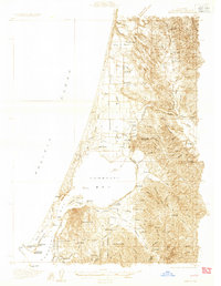
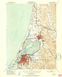
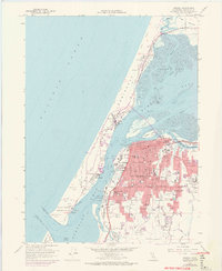
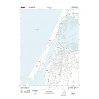
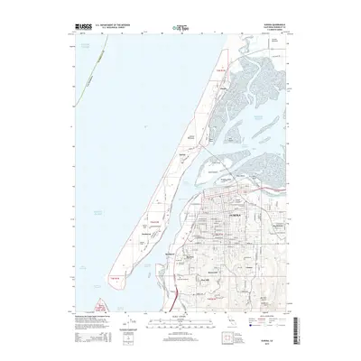
Historical Maps of Eureka Through Time
15 maps found
1922 Eureka
Humboldt County, CA
1933 Eureka
Humboldt County, CA
1942 Eureka
Humboldt County, CA
1949 Eureka
Humboldt County, CA
1951 Eureka
Humboldt County, CA

1958 Eureka
Humboldt County, CA
1958 Eureka
Humboldt County, CA

1958 Eureka
Humboldt County, CA
1959 Eureka
Humboldt County, CA

1961 Eureka
Humboldt County, CA
1987 Eureka
Humboldt County, CA
2012 Eureka
Humboldt County, CA
2015 Eureka
Humboldt County, CA
2018 Eureka
Humboldt County, CA
2021 Eureka
Humboldt County, CA