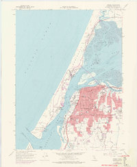
1958 Map of Eureka
USGS Topo · Published 1974About this map
Humboldt Bay and the Samoa Peninsula anchor this mid-century survey of the California coast, where the urban center of Eureka meets a complex network of sloughs and islands. The map documents the industrial and maritime character of the region, from the docks and boat basins of the waterfront to the Northwestern Pacific Railroad lines threading through town. Beyond the main city grid, the landscape transitions into the residential and rural patterns of Cutten, Rosewood, and Elk River Corners.
Find a feature on this map
89 named features on this map. Tap any name to fly to it.
Don’t see what you’re looking for? This feature index may not catch every label — zoom into the map to look around manually.
Map Details
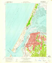
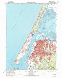
Editions of this 1958 Eureka Map
3 editions found
Other maps of this area

1916 · Cape Fortunas
USGS Topo · 1:62,500

1922 · Eureka
USGS Topo · 1:62,500

1933 · Eureka
USGS Topo · 1:48,000

1942 · Eureka
USGS Topo · 1:62,500

1943 · Ferndale
USGS Topo · 1:62,500

1944 · Fortuna
USGS Topo · 1:62,500

1949 · Eureka
USGS Topo · 1:250,000

1951 · Eureka
USGS Topo · 1:62,500

1951 · Ferndale
USGS Topo · 1:62,500
1952 · Arcata North
USGS Topo · 1:24,000