Loading...
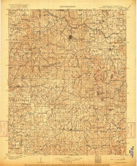
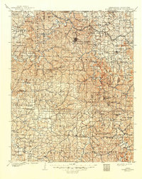
Loading map...1901 Map of Eureka Springs
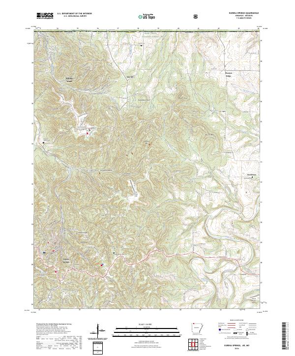
USGS Topo · Published 1916About this map
The White River and Kings River carve deep valleys through the Ozark Plateau in this survey based on fieldwork from the first year of the twentieth century. Eureka Springs serves as a prominent focal point in the north, while smaller rural hubs like Berryville, Huntsville, and Kingston anchor their respective townships. The landscape is defined by its early transportation network, where movement relied on numerous river crossings such as Knox Ferry, Jennings Ford, and Ellis Ford.
Find a feature on this map
139 named features on this map. Tap any name to fly to it.
Don’t see what you’re looking for? This feature index may not catch every label — zoom into the map to look around manually.
Map Details
Date Portrayed1901
Date Published1916
PublisherU.S. Geological Survey
Map TypeTopographic
Scale1:125,000
Physical Dimensions16.5 x 19.9 inches
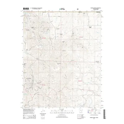
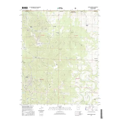
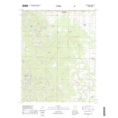
Editions of this 1901 Eureka Springs Map
3 editions found

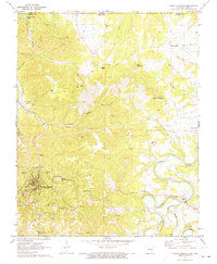
Historical Maps of Berryville Through Time
8 maps found

Featured Locations
Source Details
SourceU.S. Geological Survey
CopyrightPublic Domain