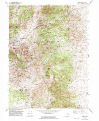
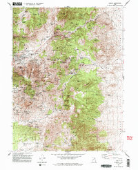
1992 Map of Eureka
USGS Topo · Published 1992About this map
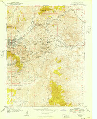
The mining industrial landscape of the Tintic District is meticulously recorded here, centered on Eureka, where Tintic High School and the local Post Office serve as the civic hub. This terrain is defined by an intensive concentration of late 19th and early 20th-century extraction sites, including the Mammoth Shaft, Eagle & Bluebell Shaft, and the Iron King Tunnel. The map preserves the locations of several town sites that once supported the boom, such as Knightville, Dividend, and Diamond, providing an essential reference for understanding the footprint of former residential areas in relation to the workings of the Union Pacific railroad lines.
Find a feature on this map
87 named features on this map. Tap any name to fly to it.
Don’t see what you’re looking for? This feature index may not catch every label — zoom into the map to look around manually.
Map Details
Editions of this 1992 Eureka Map
2 editions found
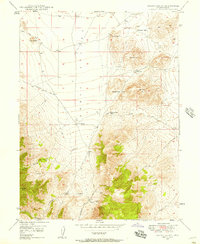
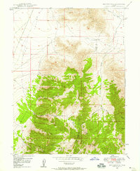
Other maps of this area

1885 · Salt Lake
USGS Topo · 1:250,000

1885 · Manti
USGS Topo · 1:250,000

1885 · Sevier Desert
USGS Topo · 1:250,000

1885 · Tooele Valley
USGS Topo · 1:250,000

1895 · Manti
USGS Topo · 1:250,000

1947 · Fivemile Pass
USGS Topo · 1:62,500
1947 · Allens Ranch
USGS Topo · 1:24,000
1947 · Boulter Peak
USGS Topo · 1:24,000
1949 · Eureka
USGS Topo · 1:24,000

1949 · Allens Ranch
USGS Topo · 1:24,000