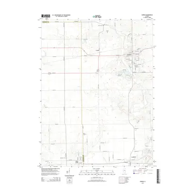
2015 Map of Eureka
USGS Topo · Published 2015About this map
Eureka serves as the primary hub in this central Illinois landscape, where the modern street grid of the town meets the agricultural tracts of Woodford and Tazewell counties. The map documents a well-established rural infrastructure, defined by a network of county roads like Dee-Mack Rd and Tazewood Rd that connect smaller communities such as Cruger and Goodfield. The drainage patterns of Walnut Creek, Mud Creek, and Mill Creek illustrate the natural hydrology that has influenced local farm boundaries for generations.
Find a feature on this map
78 named features on this map. Tap any name to fly to it.
Don’t see what you’re looking for? This feature index may not catch every label — zoom into the map to look around manually.
Map Details
Editions of this 2015 Eureka Map
This is the sole edition of this map. No revisions or reprints were ever made.
Other maps of this area

1893 · Metamora
USGS Topo · 1:62,500

1927 · Danvers
USGS Topo · 1:62,500

1928 · Mackinaw
USGS Topo · 1:62,500

1930 · Danvers
USGS Topo · 1:62,500

1932 · Mackinaw
USGS Topo · 1:62,500

1937 · Metamora
USGS Topo · 1:62,500

1948 · Metamora
USGS Topo · 1:62,500

1955 · Minonk
USGS Topo · 1:62,500

1958 · Peoria
USGS Topo · 1:250,000

1961 · Peoria
USGS Topo · 1:250,000