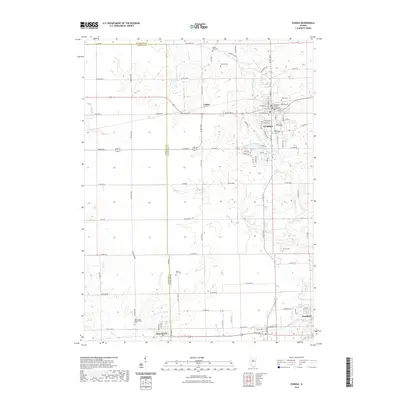
2021 Map of Eureka
USGS Topo · Published 2021About this map
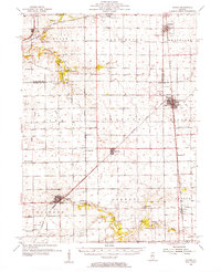
Eureka serves as a significant institutional and civic hub in this central Illinois landscape, anchored by the historic Eureka College campus and the Woodford County Courthouse. The map illustrates a well-defined residential and collegiate core that transitions into the fertile agricultural lands of the Bloomington Moraine. To the west, the small settlement of Cruger sits along the rail line, while the southern reaches of the quadrangle include portions of Goodfield and Deer Creek.
Find a feature on this map
84 named features on this map. Tap any name to fly to it.
Don’t see what you’re looking for? This feature index may not catch every label — zoom into the map to look around manually.
Map Details
Editions of this 2021 Eureka Map
This is the sole edition of this map. No revisions or reprints were ever made.
Other maps of this area
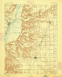
1893 · Metamora
USGS Topo · 1:62,500
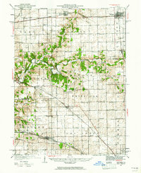
1927 · Danvers
USGS Topo · 1:62,500
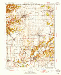
1928 · Mackinaw
USGS Topo · 1:62,500
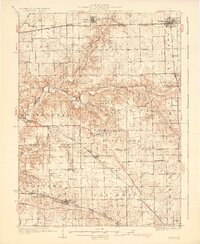
1930 · Danvers
USGS Topo · 1:62,500
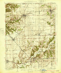
1932 · Mackinaw
USGS Topo · 1:62,500
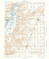
1937 · Metamora
USGS Topo · 1:62,500
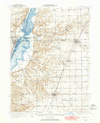
1948 · Metamora
USGS Topo · 1:62,500
1955 · Minonk
USGS Topo · 1:62,500

1958 · Peoria
USGS Topo · 1:250,000

1961 · Peoria
USGS Topo · 1:250,000