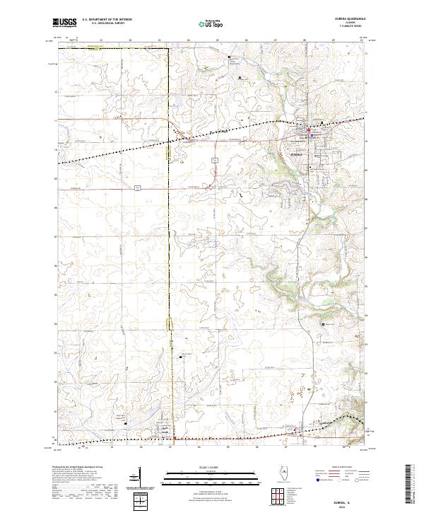
2024 Map of Eureka
USGS Topo · Published 2024About this map
Eureka serves as the focal point of this Woodford County landscape, centered around the Woodford County Courthouse and the campus of Eureka College. The town is framed by a network of local roads such as W Center St and S Main St, leading out toward the agricultural surroundings of Cruger and Goodfield. The terrain is defined by the winding paths of Walnut Creek and Mill Creek, which cut through the township sections alongside several smaller tributaries like Alloway Creek and Mud Creek. Genealogists will find a high density of burial sites across the quadrangle, ranging from the Olio Township Cem near the college to the more remote Mount Zion Cem of Walnut Grove and Deer Creek Presbyterian Cem. This layout reflects a deeply established community where early 19th-century settlement patterns, such as the placement of the Baker Cem and Woosley Cem, remain visible alongside modern development.
Find a feature on this map
126 named features on this map. Tap any name to fly to it.
Don’t see what you’re looking for? This feature index may not catch every label — zoom into the map to look around manually.
Map Details
Editions of this 2024 Eureka Map
This is the sole edition of this map. No revisions or reprints were ever made.
Other maps of this area

1893 · Metamora
USGS Topo · 1:62,500

1927 · Danvers
USGS Topo · 1:62,500

1928 · Mackinaw
USGS Topo · 1:62,500

1930 · Danvers
USGS Topo · 1:62,500

1932 · Mackinaw
USGS Topo · 1:62,500

1937 · Metamora
USGS Topo · 1:62,500

1948 · Metamora
USGS Topo · 1:62,500

1955 · Minonk
USGS Topo · 1:62,500

1958 · Peoria
USGS Topo · 1:250,000

1961 · Peoria
USGS Topo · 1:250,000