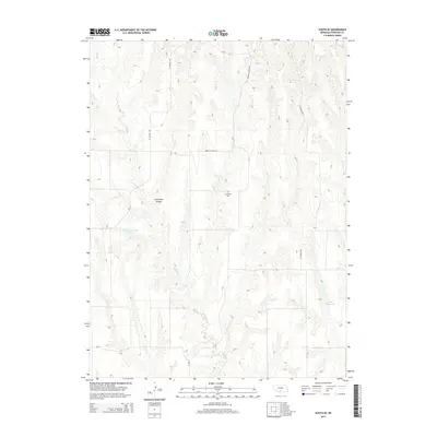
2014 Map of Eustis SE
USGS Topo · Published 2014About this map
Evergreen Cem serves as a quiet landmark in this rural stretch of Frontier County, Nebraska, where the landscape is defined by deep drainages and agricultural water management. The terrain is notably carved by Horseshoe Canyon and a series of rugged draws feeding into Muddy Cr and Elder Cr. Human influence on the land is most visible through the carefully placed Schurr Reservoir Number 1 and Koch Reservoir, essential infrastructure for managing the area's hydrology. A simple grid of local roads, including W Canyon Rd and Middle Canyon Rd, provides the only access through this dissected prairie landscape, illustrating the remote and functional character of south-central Nebraska ranchland in the early 21st century.
Find a feature on this map
9 named features on this map. Tap any name to fly to it.
Don’t see what you’re looking for? This feature index may not catch every label — zoom into the map to look around manually.
Map Details
Editions of this 2014 Eustis SE Map
This is the sole edition of this map. No revisions or reprints were ever made.
Other maps of this area

1896 · Lexington
USGS Topo · 1:125,000

1896 · Arapahoe
USGS Topo · 1:125,000

1898 · Arapahoe
USGS Topo · 1:125,000

1899 · Lexington
USGS Topo · 1:125,000

1902 · Gothenburg
USGS Topo · 1:125,000

1954 · McCook
USGS Topo · 1:250,000

1955 · Grand Island
USGS Topo · 1:250,000

1956 · Medicine Creek Dam
USGS Topo · 1:24,000

1957 · McCook
USGS Topo · 1:250,000

1957 · Grand Island
USGS Topo · 1:250,000