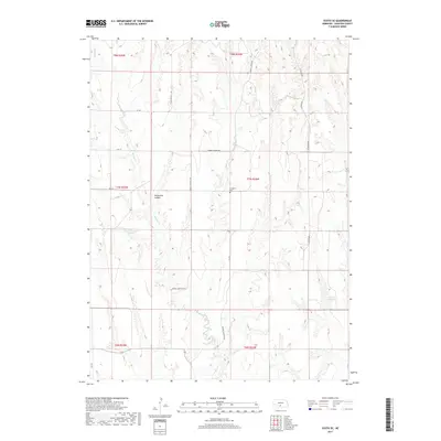
2017 Map of Eustis SE
USGS Topo · Published 2017About this map
Horseshoe Canyon and the deeply incised drainages of Frontier County dominate this high-plains landscape in south-central Nebraska. The area is defined by a series of north-south running canyons and ridges, shaped by Muddy Cr in the west and Elder Cr along the eastern border. Human imprint on the land is marked by a grid of rural routes including W Canyon Rd and Middle Canyon Rd, reflecting the systematic agricultural development of the region. Water management is central to this environment, evidenced by the Schurr Reservoir Number 1 and Koch Reservoir, which serve the local farmsteads. For those looking for local heritage, the Evergreen Cem stands as a quiet landmark amidst the vast township lines of t7n r24w and surrounding sections.
Find a feature on this map
21 named features on this map. Tap any name to fly to it.
Don’t see what you’re looking for? This feature index may not catch every label — zoom into the map to look around manually.
Map Details
Editions of this 2017 Eustis SE Map
This is the sole edition of this map. No revisions or reprints were ever made.
Other maps of this area

1896 · Lexington
USGS Topo · 1:125,000

1896 · Arapahoe
USGS Topo · 1:125,000

1898 · Arapahoe
USGS Topo · 1:125,000

1899 · Lexington
USGS Topo · 1:125,000

1902 · Gothenburg
USGS Topo · 1:125,000

1954 · McCook
USGS Topo · 1:250,000

1955 · Grand Island
USGS Topo · 1:250,000

1956 · Medicine Creek Dam
USGS Topo · 1:24,000

1957 · McCook
USGS Topo · 1:250,000

1957 · Grand Island
USGS Topo · 1:250,000