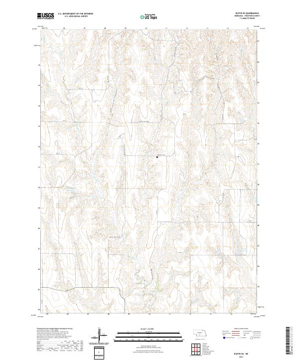
2021 Map of Eustis SE
USGS Topo · Published 2021About this map
Evergreen Cem sits centrally in this agricultural landscape within t7n r24w, serving as a key waypoint for genealogists researching Frontier County. The terrain is defined by a series of branching drainages and canyons, most notably the winding path of Horseshoe Canyon and the valley of Muddy Cr. Water management is prominent in the local economy, evidenced by the presence of Schurr Reservoir Number 1 and Koch Reservoir, which support the rural homesteads scattered across the high plains. A rigid grid of section-line roads, including Middle Canyon Rd and E Canyon Rd, provides access to these remote reaches of southwest Nebraska. The map illustrates the persistent intersection of natural geography and township-and-range surveying, where road names like W Canyon Rd directly reflect the deep-cut topography of the region.
Find a feature on this map
22 named features on this map. Tap any name to fly to it.
Don’t see what you’re looking for? This feature index may not catch every label — zoom into the map to look around manually.
Map Details
Editions of this 2021 Eustis SE Map
This is the sole edition of this map. No revisions or reprints were ever made.
Other maps of this area

1896 · Lexington
USGS Topo · 1:125,000

1896 · Arapahoe
USGS Topo · 1:125,000

1898 · Arapahoe
USGS Topo · 1:125,000

1899 · Lexington
USGS Topo · 1:125,000

1902 · Gothenburg
USGS Topo · 1:125,000

1954 · McCook
USGS Topo · 1:250,000

1955 · Grand Island
USGS Topo · 1:250,000

1956 · Medicine Creek Dam
USGS Topo · 1:24,000

1957 · McCook
USGS Topo · 1:250,000

1957 · Grand Island
USGS Topo · 1:250,000