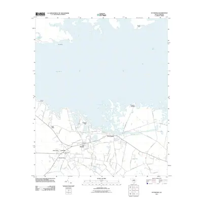
2011 Map of Eutawville
USGS Topo · Published 2011About this map
Lake Marion dominates the northern landscape of this 2011 survey, where its vast waters meet the low-lying shoreline at Ferguson Landing and Red Bank Landing. The town of Eutawville serves as the central hub of a network of small, clustered settlements including Possum Town, Green Town, and Little Belvidere. This geography reflects a deeply rooted community structure in Orangeburg County, where residential patterns often follow historical land divisions and local family centers.
Find a feature on this map
80 named features on this map. Tap any name to fly to it.
Don’t see what you’re looking for? This feature index may not catch every label — zoom into the map to look around manually.
Map Details
Editions of this 2011 Eutawville Map
This is the sole edition of this map. No revisions or reprints were ever made.
Other maps of this area

1920 · Eutawville
USGS Topo · 1:48,000

1920 · Chicora
USGS Topo · 1:48,000

1920 · Manning
USGS Topo · 1:48,000

1921 · Chicora
USGS Topo · 1:62,500

1921 · Manning
USGS Topo · 1:62,500

1921 · Eutawville
USGS Topo · 1:62,500

1943 · Chicora
USGS Topo · 1:62,500

1943 · Eutawville
USGS Topo · 1:62,500

1944 · Manning
USGS Topo · 1:62,500

1954 · Augusta
USGS Topo · 1:250,000