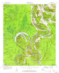
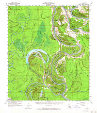
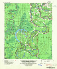
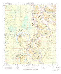
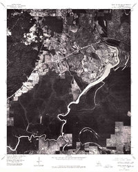
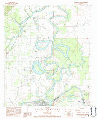
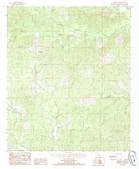
1960 Map of Eva
USGS Topo · Published 1961This historical map portrays the area of Eva in 1960, primarily covering Catahoula Parish as well as portions of Avoyelles Parish and Concordia Parish. Featuring a scale of 1:62500, this map provides a highly detailed snapshot of the terrain, roads, buildings, counties, and historical landmarks in the Eva region at the time. Published in 1961, it is one of 3 known editions of this map due to revisions or reprints.
Find a feature on this map
121 named features on this map. Tap any name to fly to it.
Don’t see what you’re looking for? This feature index may not catch every label — zoom into the map to look around manually.
Map Details
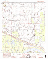
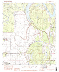
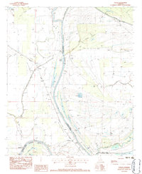
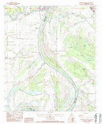
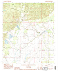
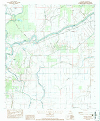
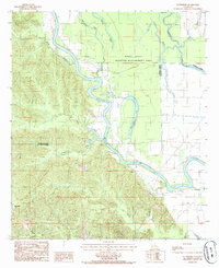
Editions of this 1960 Eva Map
3 editions found
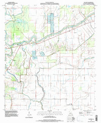
Historical Maps of Mayna Through Time
15 maps found

1935 Tooleys
Catahoula Parish, LA

1941 Manifest
Catahoula Parish, LA
1941 Tooleys
Catahoula Parish, LA
1960 Eva
Catahoula Parish, LA
1976 Sicily Island SW
Catahoula Parish, LA
1982 Larto Lake North
Catahoula Parish, LA
1982 Larto Lake South
Catahoula Parish, LA
1983 Foules
Catahoula Parish, LA
1983 Jonesville North
Catahoula Parish, LA
1983 Jonesville South
Catahoula Parish, LA
1983 Manifest
Catahoula Parish, LA
1983 Walters
Catahoula Parish, LA
1984 Aimwell
Catahoula Parish, LA
1984 Enterprise
Catahoula Parish, LA
1995 Walters
Catahoula Parish, LA