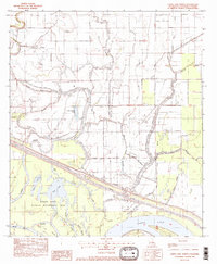
1982 Map of Larto Lake North
USGS Topo · Published 1982About this map
The Saline State Wildlife Management Area anchors the southern half of this landscape, where the waters of Saline Lake, Shad Lake, and Babays Lake merge into a complex network of bayous and sloughs. This 1982 provisional survey captures the intricate drainage patterns of Catahoula Parish, dominated by the Catahoula Diversion Canal and the Larto Lake system. The map reveals the intersection of natural hydrology and industrial activity, notably at the Big Bayou Oil Field and the Louisiana Delta Plantation Landing Strip to the north.
Find a feature on this map
34 named features on this map. Tap any name to fly to it.
Don’t see what you’re looking for? This feature index may not catch every label — zoom into the map to look around manually.
Map Details
Editions of this 1982 Larto Lake North Map
2 editions found
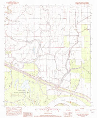
Other maps of this area

1935 · Tooleys
USGS Topo · 1:62,500

1941 · Manifest
USGS Topo · 1:62,500

1941 · Jena
USGS Topo · 1:62,500

1941 · Buckeye
USGS Topo · 1:62,500

1941 · Tooleys
USGS Topo · 1:62,500

1953 · Alexandria
USGS Topo · 1:250,000

1953 · Natchez
USGS Topo · 1:250,000

1955 · Alexandria
USGS Topo · 1:250,000

1956 · Natchez
USGS Topo · 1:250,000

1958 · Jena
USGS Topo · 1:62,500