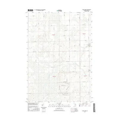
2017 Map of Evans Creek
USGS Topo · Published 2017About this map
Smokey Hollow Swamp and a network of northern Michigan waterways define this corner of Alpena County. The landscape is marked by the branching tributaries of Wolf Creek and Evans Creek, which flow through a grid of rural roads named for early families, such as Chabot Rd, Herron Rd, and Wegmeyer Rd. This modern survey reveals a quiet, agrarian character where land use is oriented around the natural drainage of Butterfield Cr and King Cr.
Find a feature on this map
50 named features on this map. Tap any name to fly to it.
Don’t see what you’re looking for? This feature index may not catch every label — zoom into the map to look around manually.
Map Details
Editions of this 2017 Evans Creek Map
This is the sole edition of this map. No revisions or reprints were ever made.
Other maps of this area

1954 · Tawas City
USGS Topo · 1:250,000

1954 · Alpena
USGS Topo · 1:250,000

1955 · Hillman
USGS Topo · 1:62,500

1957 · Alpena
USGS Topo · 1:250,000

1958 · Alpena
USGS Topo · 1:250,000

1958 · Tawas City
USGS Topo · 1:250,000

1969 · Alpena
USGS Topo · 1:250,000

1971 · Lake Winyah
USGS Topo · 1:24,000

1971 · Lachine
USGS Topo · 1:24,000

1972 · Hubbard Lake
USGS Topo · 1:24,000