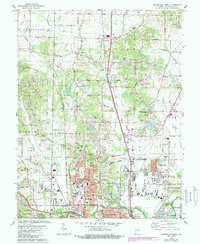
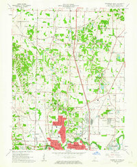
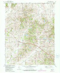
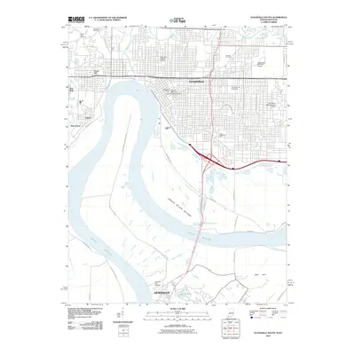
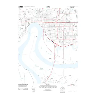
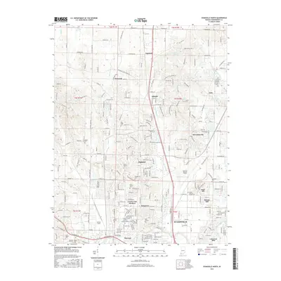
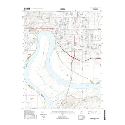
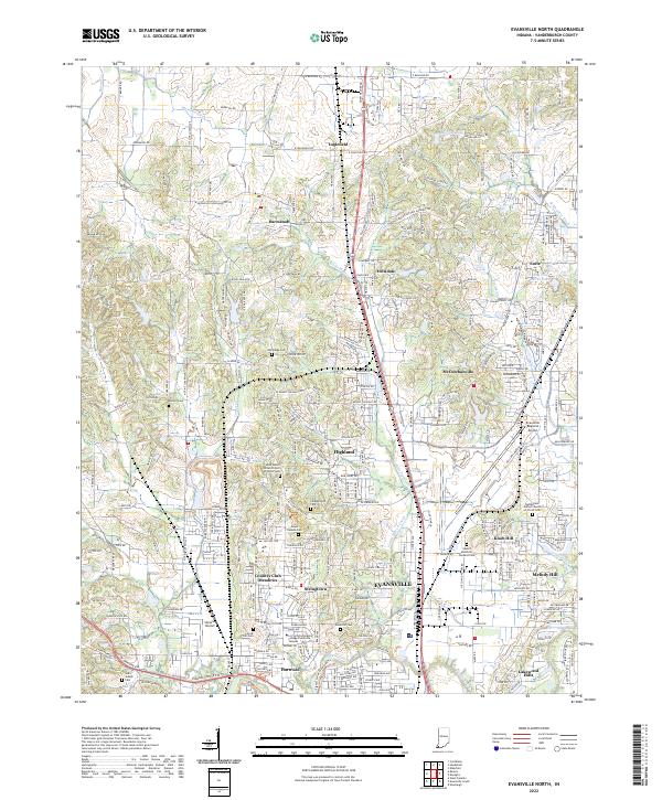
1981 Map of Evansville North
USGS Topo · Published 1988About this map
Evansville expands northward into the townships of German, Scott, and Knight on this detailed survey updated in the early 1980s. The urban-rural transition is marked by a mix of historic rural landmarks and growing suburban infrastructure. Significant cemeteries like St Joseph Cemetery, Locust Hill Cemetery, and Sunset Memorial Gardens (Cemetery) serve as important genealogical anchors for the region. The landscape is also defined by industrial and transportation hubs, including numerous oil wells and the sprawling Evansville Dress Regional Airport.
Find a feature on this map
71 named features on this map. Tap any name to fly to it.
Don’t see what you’re looking for? This feature index may not catch every label — zoom into the map to look around manually.
Map Details
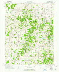
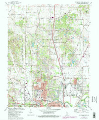
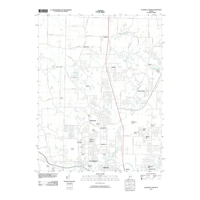
Editions of this 1981 Evansville North Map
3 editions found
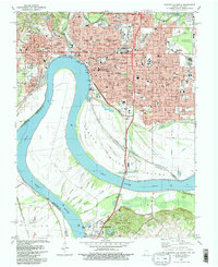
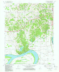
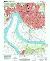
Historical Maps of Evansville Through Time
29 maps found
1957 Evansville South
Vanderburgh County, IN
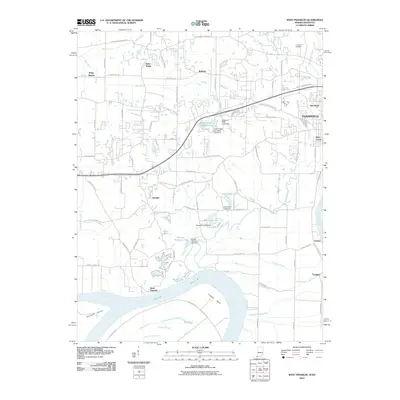
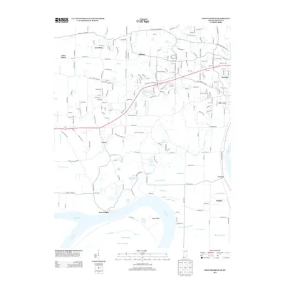
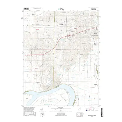
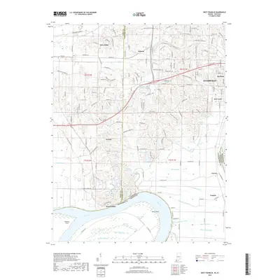
1957 West Franklin
Vanderburgh County, IN
1961 Evansville North
Vanderburgh County, IN
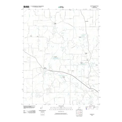
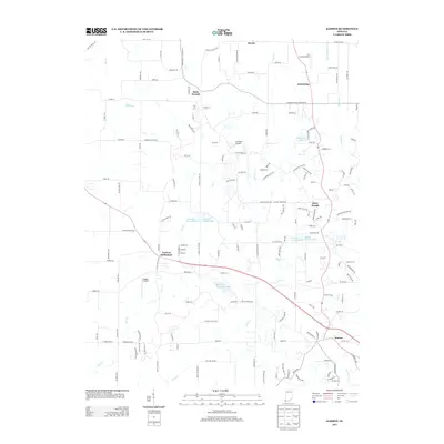
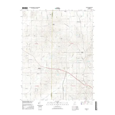
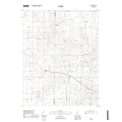
1961 Kasson
Vanderburgh County, IN
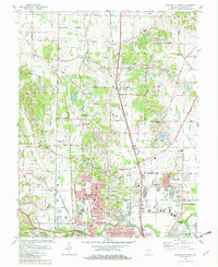
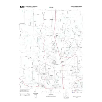
1981 Evansville North
Vanderburgh County, IN
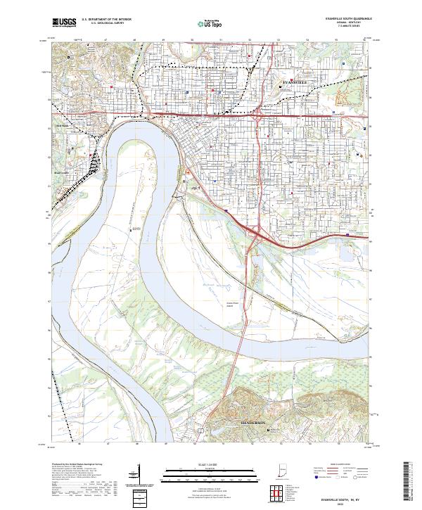
1981 Evansville South
Vanderburgh County, IN
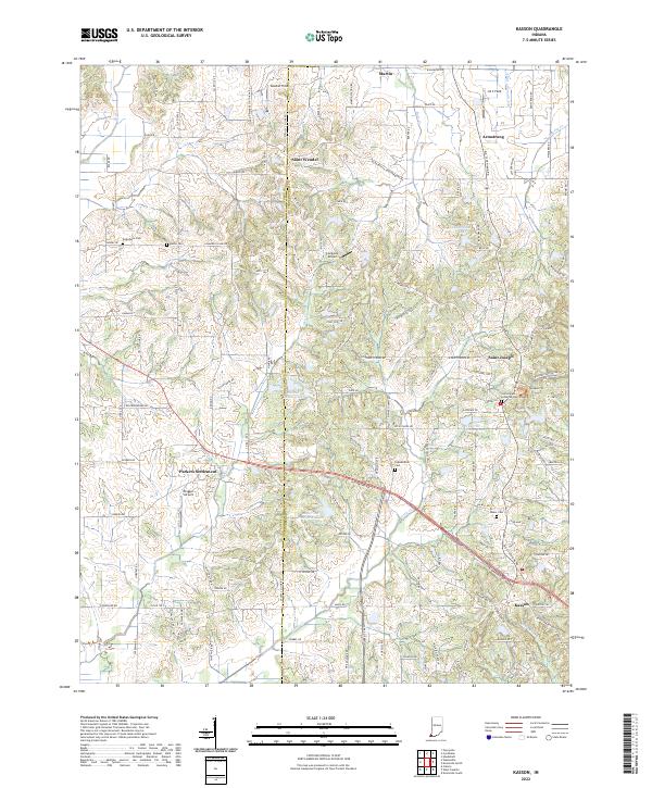
1981 Kasson
Vanderburgh County, IN
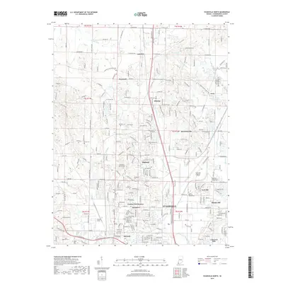
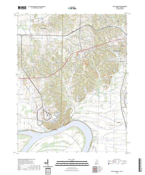
1981 West Franklin
Vanderburgh County, IN
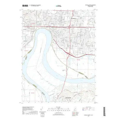
1999 Evansville South
Vanderburgh County, IN
2010 Evansville North
Vanderburgh County, IN
2010 Evansville South
Vanderburgh County, IN
2010 Kasson
Vanderburgh County, IN
2010 West Franklin
Vanderburgh County, IN
2013 Evansville North
Vanderburgh County, IN
2013 Evansville South
Vanderburgh County, IN
2013 Kasson
Vanderburgh County, IN
2013 West Franklin
Vanderburgh County, IN
2016 Evansville North
Vanderburgh County, IN
2016 Evansville South
Vanderburgh County, IN
2016 Kasson
Vanderburgh County, IN
2016 West Franklin
Vanderburgh County, IN
2019 Evansville North
Vanderburgh County, IN
2019 Evansville South
Vanderburgh County, IN
2019 Kasson
Vanderburgh County, IN
2019 West Franklin
Vanderburgh County, IN
2022 Evansville North
Vanderburgh County, IN
2022 Evansville South
Vanderburgh County, IN
2022 Kasson
Vanderburgh County, IN
2022 West Franklin
Vanderburgh County, IN