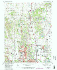
1981 Map of Evansville North
USGS Topo · Published 1988About this map
Evansville expands northward into a landscape defined by suburban transition and rural industry in this 1980s-era study. The northern reaches of the city are anchored by the Evansville Dress Regional Airport and the growing residential pockets of Highland, Stringtown, and Melody Hill. These neighborhoods bridge the gap between the urban center and more established outlying settlements like McCutchanville and Darmstadt. The prevalence of oil wells and the Pigeon Creek Railroad corridor signals the continued industrial utility of the terrain, even as recreational spaces like Clearcrest Country Club and the Fairgrounds redefine land use.
Find a feature on this map
102 named features on this map. Tap any name to fly to it.
Don’t see what you’re looking for? This feature index may not catch every label — zoom into the map to look around manually.
Map Details
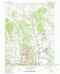
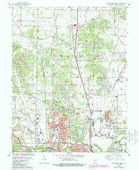
Editions of this 1981 Evansville North Map
3 editions found
Other maps of this area

1901 · Haubstadt
USGS Topo · 1:62,500

1902 · Ditney
USGS Topo · 1:125,000

1902 · Boonville
USGS Topo · 1:62,500

1903 · Haubstadt
USGS Topo · 1:62,500

1903 · Patoka
USGS Topo · 1:125,000

1905 · Newburg
USGS Topo · 1:62,500

1914 · Henderson
USGS Topo · 1:48,000

1916 · Henderson
USGS Topo · 1:62,500

1952 · Evansville
USGS Topo · 1:24,000

1952 · Newburgh
USGS Topo · 1:24,000