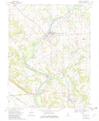
1970 Map of Evansville
USGS Topo · Published 1982About this map
The Kaskaskia River valley in Randolph County serves as the focal point of this 1970s landscape, illustrating the intersection of rail transport and river management. The Missouri Pacific railroad corridor runs parallel to the waterway, connecting settlements like Flinton, Roots, and Evansville. Cultural landmarks are densely mapped around these towns, including St Johns Ch and multiple burial sites such as St Peters Cem and St Boniface Cem.
Find a feature on this map
34 named features on this map. Tap any name to fly to it.
Don’t see what you’re looking for? This feature index may not catch every label — zoom into the map to look around manually.
Map Details
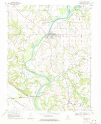
Editions of this 1970 Evansville Map
2 editions found
Other maps of this area

1907 · Weingarten
USGS Topo · 1:62,500

1909 · Weingarten
USGS Topo · 1:62,500

1912 · Baldwin
USGS Topo · 1:62,500

1914 · Baldwin
USGS Topo · 1:62,500

1915 · Renault
USGS Topo · 1:62,500

1915 · Chester
USGS Topo · 1:62,500

1940 · Renault
USGS Topo · 1:62,500

1942 · Baldwin
USGS Topo · 1:62,500

1947 · Chester
USGS Topo · 1:62,500

1949 · Saint Louis
USGS Topo · 1:250,000