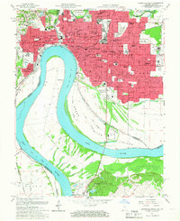
1957 Map of Evansville South
USGS Topo · Published 1967About this map
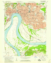
The Ohio River bends sharply south of Evansville, defining a complex borderland where Vanderburgh County and Henderson County meet across the water. This 1950s landscape is densely populated with neighborhood institutions, from the Monastery of St Clare to the sprawling Evansville State Hospital and Evansville College. The river's influence is evident in the intricate network of backwaters like Green River Slough and Deep Slough that surround the confluence of the Green River.
Find a feature on this map
89 named features on this map. Tap any name to fly to it.
Don’t see what you’re looking for? This feature index may not catch every label — zoom into the map to look around manually.
Map Details
Editions of this 1957 Evansville South Map
2 editions found
Other maps of this area

1901 · Haubstadt
USGS Topo · 1:62,500

1902 · Ditney
USGS Topo · 1:125,000

1902 · Boonville
USGS Topo · 1:62,500

1903 · Haubstadt
USGS Topo · 1:62,500

1903 · Patoka
USGS Topo · 1:125,000

1905 · Newburg
USGS Topo · 1:62,500

1914 · Henderson
USGS Topo · 1:48,000

1916 · Henderson
USGS Topo · 1:62,500

1951 · Spottsville
USGS Topo · 1:24,000

1952 · Evansville
USGS Topo · 1:24,000