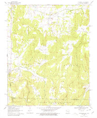
1970 Map of Evansville
USGS Topo · Published 1979About this map
Evansville sits at the base of the Boston Mountains in the southwestern corner of Washington County, just where the hills meet the Oklahoma border. In this 1970 landscape, the settlement pattern is defined by high ridges like Grapevine Ridge and Skylight Mountain that funnel roads and homesteads into narrow hollows. The map reveals a dense concentration of local heritage sites, including the Bethlehem Cem and English Cem near Morrow, alongside several country churches like Mount Pleasant Ch. The transition from the rugged slopes of the Ozark National Forest to the small farm plots around Dutch Mills illustrates a rural economy built on the timber and topography of the Ozarks. Distinctive features like the Academy Cem and New Center Point Ch provide specific markers for genealogical research in this long-settled corner of Arkansas.
Find a feature on this map
61 named features on this map. Tap any name to fly to it.
Don’t see what you’re looking for? This feature index may not catch every label — zoom into the map to look around manually.
Map Details
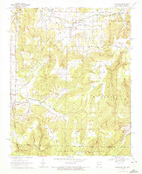
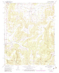
Editions of this 1970 Evansville Map
3 editions found
Other maps of this area

1898 · Winslow #3
USGS Topo · 1:62,500

1898 · Tahlequah
USGS Topo · 1:125,000

1898 · Winslow
USGS Topo · 1:125,000

1901 · Winslow
USGS Topo · 1:125,000

1901 · Tahlequah
USGS Topo · 1:125,000

1905 · Tahlequah
USGS Topo · 1:125,000

1946 · Fort Smith
USGS Topo · 1:250,000

1965 · Fort Smith
USGS Topo · 1:250,000

1967 · Fort Smith
USGS Topo · 1:250,000

1969 · Natural Dam
USGS Topo · 1:24,000