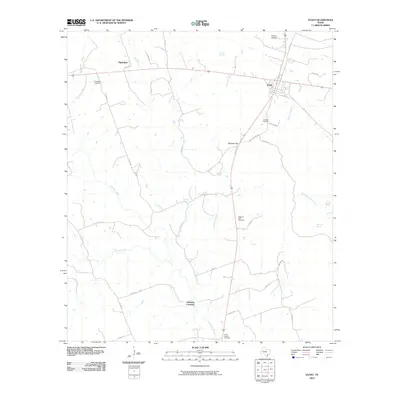
2010 Map of Evant
USGS Topo · Published 2010About this map
The Lampasas River and its varied tributaries, including Heatley Branch and Bennett Creek, carve a drainage network across this Central Texas landscape near the turn of the 21st century. The town of Evant serves as the primary hub, where local routes like FM 183 and Sheldon Rd intersect. The rural character of the area is underscored by numerous springs such as Brooks Spring and Tan Yard Spring, which historically dictated the placement of early homesteads and livestock operations.
Find a feature on this map
42 named features on this map. Tap any name to fly to it.
Don’t see what you’re looking for? This feature index may not catch every label — zoom into the map to look around manually.
Map Details
Editions of this 2010 Evant Map
This is the sole edition of this map. No revisions or reprints were ever made.
Other maps of this area

1887 · Lampasas
USGS Topo · 1:125,000

1888 · Hamilton
USGS Topo · 1:125,000

1894 · Hamilton
USGS Topo · 1:125,000

1894 · Lampasas
USGS Topo · 1:125,000

1954 · Brownwood
USGS Topo · 1:250,000

1954 · Evant
USGS Topo · 1:62,500

1954 · Evant
USGS Topo · 1:24,000
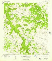
1954 · Izoro
USGS Topo · 1:24,000
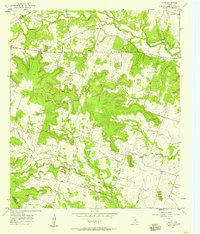
1954 · Pearl
USGS Topo · 1:24,000
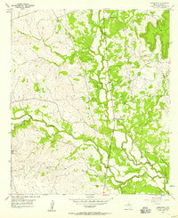
1954 · Adamsville
USGS Topo · 1:24,000