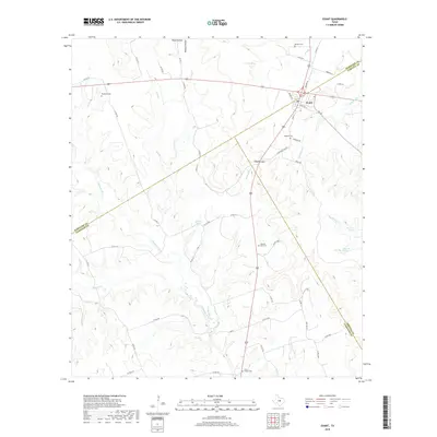
2019 Map of Evant
USGS Topo · Published 2019About this map
Evant serves as the central hub of this Central Texas landscape where Hamilton, Coryell, and Lampasas counties meet. The settlement is situated at the intersection of several key routes including FM 183 and FM 2414, marking a transition from the upland cattle country toward the Lampasas River valley. This 2019 survey documents a landscape deeply connected to its water sources, evidenced by the numerous named springs such as Beef Pen Spring, Tan Yard Spring, and Burr Oak Spring that dot the drainages.
Find a feature on this map
57 named features on this map. Tap any name to fly to it.
Don’t see what you’re looking for? This feature index may not catch every label — zoom into the map to look around manually.
Map Details
Editions of this 2019 Evant Map
This is the sole edition of this map. No revisions or reprints were ever made.
Other maps of this area

1887 · Lampasas
USGS Topo · 1:125,000

1888 · Hamilton
USGS Topo · 1:125,000

1894 · Hamilton
USGS Topo · 1:125,000

1894 · Lampasas
USGS Topo · 1:125,000

1954 · Brownwood
USGS Topo · 1:250,000

1954 · Evant
USGS Topo · 1:62,500

1954 · Evant
USGS Topo · 1:24,000
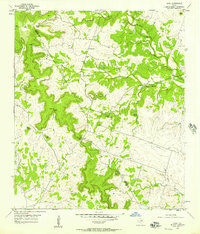
1954 · Izoro
USGS Topo · 1:24,000
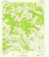
1954 · Pearl
USGS Topo · 1:24,000
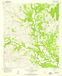
1954 · Adamsville
USGS Topo · 1:24,000