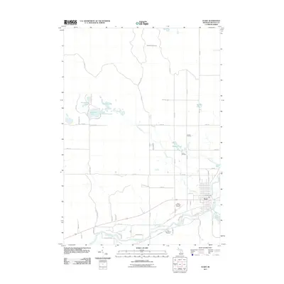
2011 Map of Evart
USGS Topo · Published 2011About this map
Evart sits at the southern edge of this Michigan survey, where the Muskegon River winds past the town's grid and the Evart Municipal Airport. The landscape is defined by the glacial geography of the northern Lower Peninsula, featuring a dense cluster of water bodies including Strawberry Lake, Horsehead Lake, and Whitmore Pond. These lakes and ponds are connected by smaller tributaries like Twin Creek and Chippewa Creek, which feed into the primary river system.
Find a feature on this map
63 named features on this map. Tap any name to fly to it.
Don’t see what you’re looking for? This feature index may not catch every label — zoom into the map to look around manually.
Map Details
Editions of this 2011 Evart Map
This is the sole edition of this map. No revisions or reprints were ever made.
Other maps of this area

1954 · Traverse City
USGS Topo · 1:250,000

1954 · Midland
USGS Topo · 1:250,000

1957 · Cadillac South
USGS Topo · 1:62,500

1957 · Marion
USGS Topo · 1:62,500

1958 · Traverse City
USGS Topo · 1:250,000

1958 · Midland
USGS Topo · 1:250,000

1959 · Midland
USGS Topo · 1:250,000

1959 · Lake
USGS Topo · 1:62,500

1959 · Evart
USGS Topo · 1:62,500

1966 · Midland
USGS Topo · 1:250,000