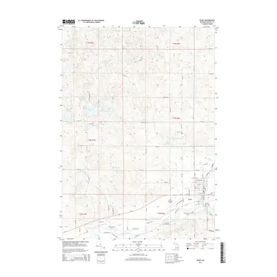
2014 Map of Evart
USGS Topo · Published 2014About this map
The Muskegon River meanders through the southern portion of this landscape, defining the character of Evart and its surrounding countryside in Osceola County. The settlement pattern here is anchored by the river and the Us-10 corridor, with the Evart Municipal Airport and residential developments like Lake Lure showing the modern footprint of the community. In the northern reaches, the terrain is dotted with glacial features, including Long Lake, Horsehead Lake, and Strawberry Lake, which suggest a long history of seasonal recreation and local natural resource use.
Find a feature on this map
59 named features on this map. Tap any name to fly to it.
Don’t see what you’re looking for? This feature index may not catch every label — zoom into the map to look around manually.
Map Details
Editions of this 2014 Evart Map
This is the sole edition of this map. No revisions or reprints were ever made.
Other maps of this area

1954 · Traverse City
USGS Topo · 1:250,000

1954 · Midland
USGS Topo · 1:250,000

1957 · Cadillac South
USGS Topo · 1:62,500

1957 · Marion
USGS Topo · 1:62,500

1958 · Traverse City
USGS Topo · 1:250,000

1958 · Midland
USGS Topo · 1:250,000

1959 · Midland
USGS Topo · 1:250,000

1959 · Lake
USGS Topo · 1:62,500

1959 · Evart
USGS Topo · 1:62,500

1966 · Midland
USGS Topo · 1:250,000