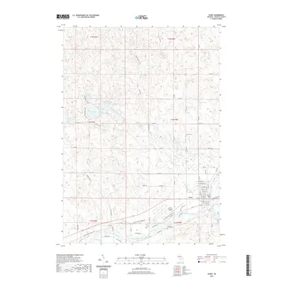
2019 Map of Evart
USGS Topo · Published 2019About this map
The Muskegon River snakes through the southern reaches of this landscape, anchoring the city of Evart. This 2019 survey documents a transition from the structured street grid of the city, including thoroughfares like W Washington St and W Jefferson St, to the more organic patterns of the surrounding wetlands and forests. The corridor along the river is marked by the Pere Marquette State Trail, tracing a historic transportation route that now serves as a recreational artery. North of the city, the terrain is dotted with numerous kettle lakes and ponds, including Horsehead Lake and the clustered Strawberry Lake and Little Strawberry Lake. Local history is preserved at sites like the German Cem and Holy Cross Catholic Cem, while modern infrastructure is represented by the Evart Municipal Airport. Small waterways like Chippewa Cr and Twin Cr drain this post-glacial landscape towards the Muskegon.
Find a feature on this map
80 named features on this map. Tap any name to fly to it.
Don’t see what you’re looking for? This feature index may not catch every label — zoom into the map to look around manually.
Map Details
Editions of this 2019 Evart Map
This is the sole edition of this map. No revisions or reprints were ever made.
Other maps of this area

1954 · Traverse City
USGS Topo · 1:250,000

1954 · Midland
USGS Topo · 1:250,000

1957 · Cadillac South
USGS Topo · 1:62,500

1957 · Marion
USGS Topo · 1:62,500

1958 · Traverse City
USGS Topo · 1:250,000

1958 · Midland
USGS Topo · 1:250,000

1959 · Midland
USGS Topo · 1:250,000

1959 · Lake
USGS Topo · 1:62,500

1959 · Evart
USGS Topo · 1:62,500

1966 · Midland
USGS Topo · 1:250,000