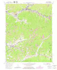
1954 Map of Evarts
USGS Topo · Published 1980About this map
The Louisville and Nashville railroad winds through the deep valleys of Harlan County, connecting a string of coal-focused settlements including Evarts, Kenvir, and Verda. This mid-century landscape is defined by the extraction economy, with numerous Strip Mines and a conveyor system located near Crummies. The industrial footprint sits in close proximity to local life, evidenced by the Drive-in Theater near Ages and several small rural education centers like the Middle Sch and Jones Creek Sch.
Find a feature on this map
101 named features on this map. Tap any name to fly to it.
Don’t see what you’re looking for? This feature index may not catch every label — zoom into the map to look around manually.
Map Details
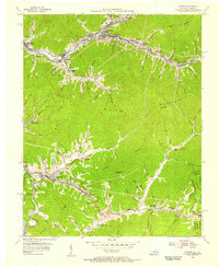
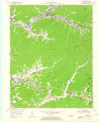
Editions of this 1954 Evarts Map
3 editions found
Other maps of this area

1887 · Jonesville
USGS Topo · 1:125,000

1891 · Jonesville
USGS Topo · 1:125,000

1903 · Harlan
USGS Topo · 1:48,000

1916 · Harlan
USGS Topo · 1:48,000

1916 · Nolansburg
USGS Topo · 1:48,000

1919 · Nolansburg
USGS Topo · 1:62,500

1919 · Harlan
USGS Topo · 1:62,500

1932 · Hagan
USGS Topo · 1:62,500

1935 · Hubbard Springs
USGS Topo · 1:24,000
1935 · Evarts
USGS Topo · 1:24,000