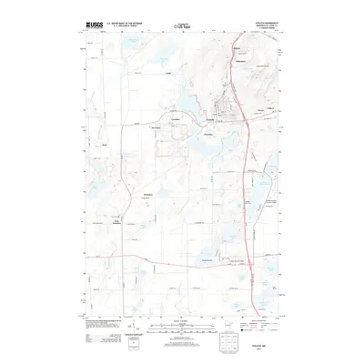
2013 Map of Eveleth
USGS Topo · Published 2013About this map
The Laurentian Divide cuts through this portion of the Mesabi Range, a region defined by its industrial legacy and complex hydrography. The landscape is a network of named settlements and worker communities including Leonidas, Genoa, and Midway, situated alongside the larger municipalities of Virginia and Eveleth. This era of the Iron Range shows a highly developed infrastructure of specialized facilities, from the Eveleth-Virginia Municipal Airport to the Eveleth Nursery, surrounded by a dense concentration of lakes such as Saint Marys Lake and Ely Lake.
Find a feature on this map
92 named features on this map. Tap any name to fly to it.
Don’t see what you’re looking for? This feature index may not catch every label — zoom into the map to look around manually.
Map Details
Editions of this 2013 Eveleth Map
This is the sole edition of this map. No revisions or reprints were ever made.
Other maps of this area

1950 · Mc Kinley
USGS Topo · 1:24,000

1951 · Mc Kinley
USGS Topo · 1:24,000

1951 · Gilbert
USGS Topo · 1:24,000

1951 · Eveleth
USGS Topo · 1:24,000

1951 · Virginia
USGS Topo · 1:24,000

1951 · Kinney
USGS Topo · 1:24,000

1951 · Kirk
USGS Topo · 1:24,000

1951 · Central Lakes
USGS Topo · 1:24,000

1951 · Zim
USGS Topo · 1:24,000

1951 · Casco
USGS Topo · 1:24,000