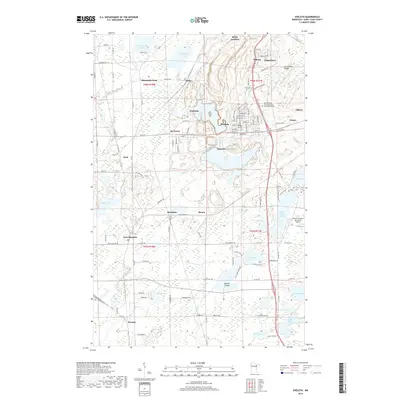
2019 Map of Eveleth
USGS Topo · Published 2019About this map
The Laurentian Divide cuts across this northern landscape, marking the hydrological boundary between the Great Lakes and Arctic watersheds. This Mesabi Range corridor is anchored by the industrial and residential hubs of Virginia and Eveleth, surrounded by a network of smaller mining and railway settlements such as Leonidas, Genoa, and Mountain Iron. The map illustrates the complex relationship between the built environment and the region's numerous glacial lakes, including Saint Marys Lake and the interconnected Long Lake and Horseshoe Lake.
Find a feature on this map
87 named features on this map. Tap any name to fly to it.
Don’t see what you’re looking for? This feature index may not catch every label — zoom into the map to look around manually.
Map Details
Editions of this 2019 Eveleth Map
This is the sole edition of this map. No revisions or reprints were ever made.
Other maps of this area

1950 · Mc Kinley
USGS Topo · 1:24,000

1951 · Mc Kinley
USGS Topo · 1:24,000

1951 · Gilbert
USGS Topo · 1:24,000

1951 · Eveleth
USGS Topo · 1:24,000

1951 · Virginia
USGS Topo · 1:24,000

1951 · Kinney
USGS Topo · 1:24,000

1951 · Kirk
USGS Topo · 1:24,000

1951 · Central Lakes
USGS Topo · 1:24,000

1951 · Zim
USGS Topo · 1:24,000

1951 · Casco
USGS Topo · 1:24,000