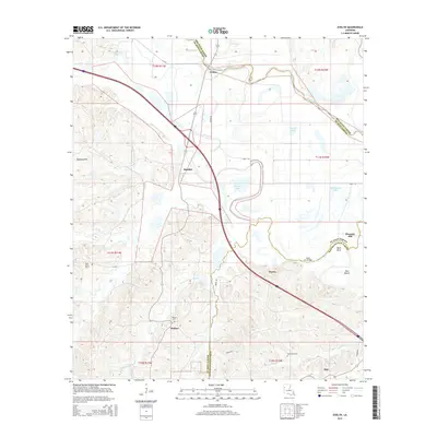
2015 Map of Evelyn
USGS Topo · Published 2015About this map
Bayou Pierre and the shifting channels of the Red River Parish border define the northern reaches of this landscape, where small hamlets like Evelyn and Rambin sit atop the low ridges. This terrain transitions into the more pronounced Dolette Hills to the west, providing a distinct relief from the bottomlands. The map reveals a social fabric established around several country burial grounds and small community hubs, including Saint Marys Cem, Wallace Cem, and the village of Ajax. A network of backroads like Crow Ln and Rehab Ln connects the scattered homesteads. Southward, the geography is marked by drainage systems like Little Wallace Bayou and landmarks such as the Mary Cox Bridge, which crosses into Natchitoches Parish. This layout illustrates a rural Louisiana parish life where development is largely dictated by the path of bayous and the rise of the hills.
Find a feature on this map
34 named features on this map. Tap any name to fly to it.
Don’t see what you’re looking for? This feature index may not catch every label — zoom into the map to look around manually.
Map Details
Editions of this 2015 Evelyn Map
This is the sole edition of this map. No revisions or reprints were ever made.
Other maps of this area

1938 · Chemard Lake
USGS Topo · 1:31,680

1938 · Hollis Creek
USGS Topo · 1:31,680

1938 · Allen
USGS Topo · 1:31,680

1938 · Lake End
USGS Topo · 1:31,680

1941 · Pelican
USGS Topo · 1:62,500

1943 · Pleasant Hill
USGS Topo · 1:62,500

1944 · Pleasant Hill
USGS Topo · 1:62,500

1945 · Mansfield
USGS Topo · 1:62,500

1947 · Mansfield
USGS Topo · 1:62,500

1947 · Hanna
USGS Topo · 1:62,500