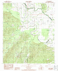
1989 Map of Evelyn
USGS Topo · Published 1989About this map
Pierre Bayou and the complex waterways of northwestern Louisiana define this landscape at the junction of De Soto, Red River, and Natchitoches Parishes. The mapping shows an environment characterized by numerous brakes and branches, including Dolet Brake and Louies Brake, which feed into the larger river systems. While the small settlements of Evelyn, Rambin, and Harris provide local focal points, the landscape is heavily influenced by energy extraction, evidenced by the large Gas Field and Oil Field situated west of the river. The presence of features like Jims Island and Buck Neck along the parish boundaries highlights the intricate, shifting nature of the local hydrology. This 1980s data records the area just before modern consolidation, preserving the locations of rural Cem sites and unnamed family-scale structures tucked into the timber and wetlands.
Find a feature on this map
45 named features on this map. Tap any name to fly to it.
Don’t see what you’re looking for? This feature index may not catch every label — zoom into the map to look around manually.
Map Details
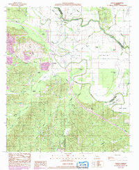
Editions of this 1989 Evelyn Map
2 editions found
Other maps of this area

1938 · Chemard Lake
USGS Topo · 1:31,680

1938 · Hollis Creek
USGS Topo · 1:31,680

1938 · Allen
USGS Topo · 1:31,680

1938 · Lake End
USGS Topo · 1:31,680

1941 · Pelican
USGS Topo · 1:62,500

1943 · Pleasant Hill
USGS Topo · 1:62,500

1944 · Pleasant Hill
USGS Topo · 1:62,500

1945 · Mansfield
USGS Topo · 1:62,500

1947 · Mansfield
USGS Topo · 1:62,500

1947 · Hanna
USGS Topo · 1:62,500