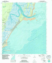
1918 Map of Everett City
USGS Topo · Published 1918About this map
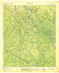
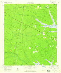
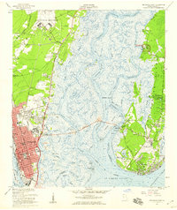
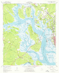
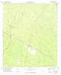
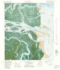
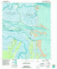
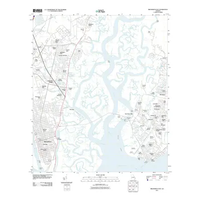
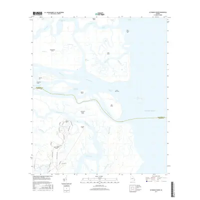
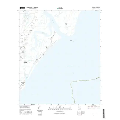
The Altamaha River winds through a dense landscape of islands and hammocks, including Jasmine Island and Gambers Island, as it defines the early 20th-century geography of this Georgia coastal region. The map reveals a complex web of industrial and transportation infrastructure, marked by a massive Sawmill and numerous Tramroads used for timber extraction from the Buffalo Swamp. A trio of major rail lines—the Seaboard Air Line, Southern, and Atlantic Coast Line—converge here, facilitating the movement of people and goods through stations like Grangerville Sta and sidings such as Hunters Siding. Settlements like Mt Pleasant and Thalmann serve as focal points for rural life, supported by local institutions like the Union Industrial School and Hopewell School. Public access to the river is noted by several landings, including Opossum Landing and Holland Landing, emphasizing the importance of waterway travel alongside the emerging Post Road.
Find a feature on this map
67 named features on this map. Tap any name to fly to it.
Don’t see what you’re looking for? This feature index may not catch every label — zoom into the map to look around manually.
Map Details
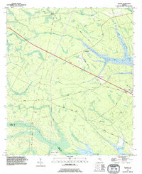
Editions of this 1918 Everett City Map
2 editions found
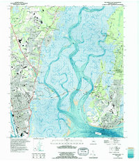
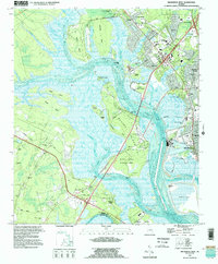
Historical Maps of Pennick Through Time
52 maps found

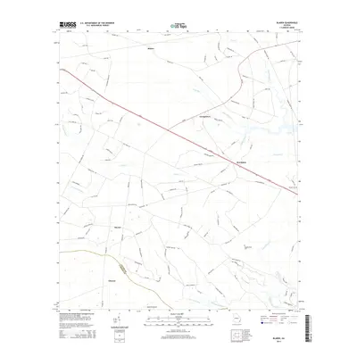
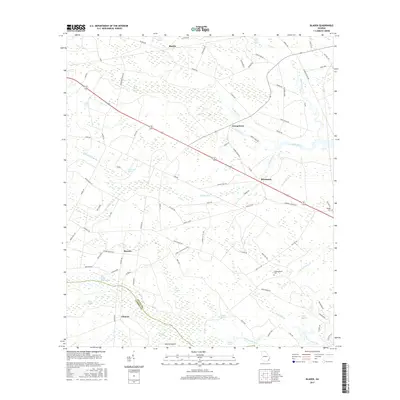
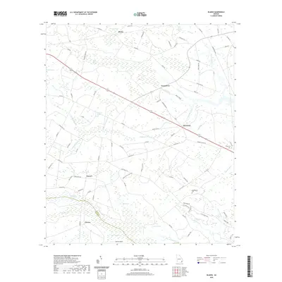
1918 Bladen
Glynn County, GA

1918 Everett City
Glynn County, GA

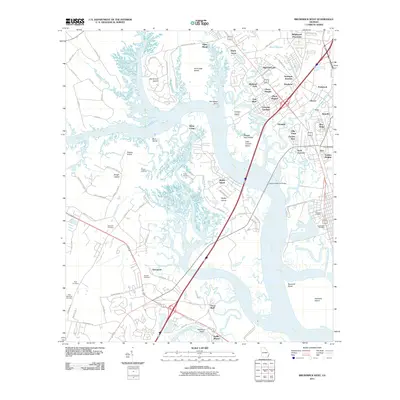
1920 Everett City
Glynn County, GA
1939 Bladen
Glynn County, GA

1944 Everett City
Glynn County, GA
1954 Altamaha Sound
Glynn County, GA
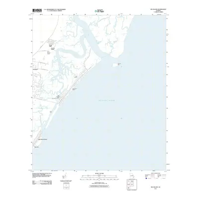
1955 Sea Island
Glynn County, GA
1956 Bladen
Glynn County, GA
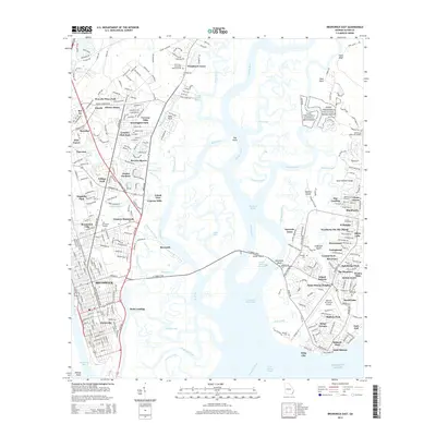
1956 Brunswick East
Glynn County, GA
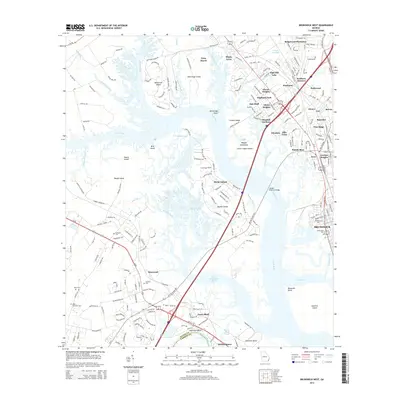
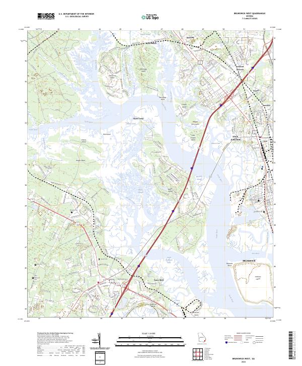
1956 Brunswick West
Glynn County, GA
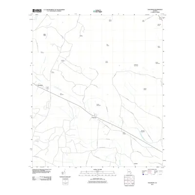
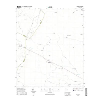
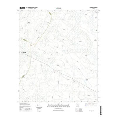
1978 Thalmann
Glynn County, GA
1979 Altamaha Sound
Glynn County, GA
1979 Brunswick East
Glynn County, GA

1979 Brunswick West
Glynn County, GA
1979 Sea Island
Glynn County, GA
1980 Bladen
Glynn County, GA
1993 Altamaha Sound
Glynn County, GA
1993 Bladen
Glynn County, GA
1993 Brunswick East
Glynn County, GA
1993 Brunswick West
Glynn County, GA
1993 Sea Island
Glynn County, GA
1993 Thalmann
Glynn County, GA
2011 Altamaha Sound
Glynn County, GA
2011 Bladen
Glynn County, GA
2011 Brunswick East
Glynn County, GA
2011 Brunswick West
Glynn County, GA
2011 Sea Island
Glynn County, GA
2011 Thalmann
Glynn County, GA

2014 Altamaha Sound
Glynn County, GA
2014 Bladen
Glynn County, GA
2014 Brunswick East
Glynn County, GA
2014 Brunswick West
Glynn County, GA

2014 Sea Island
Glynn County, GA
2014 Thalmann
Glynn County, GA
2017 Altamaha Sound
Glynn County, GA
2017 Bladen
Glynn County, GA
2017 Brunswick East
Glynn County, GA
2017 Brunswick West
Glynn County, GA
2017 Sea Island
Glynn County, GA
2017 Thalmann
Glynn County, GA

2020 Altamaha Sound
Glynn County, GA
2020 Bladen
Glynn County, GA
2020 Brunswick East
Glynn County, GA
2020 Brunswick West
Glynn County, GA

2020 Sea Island
Glynn County, GA
2020 Thalmann
Glynn County, GA
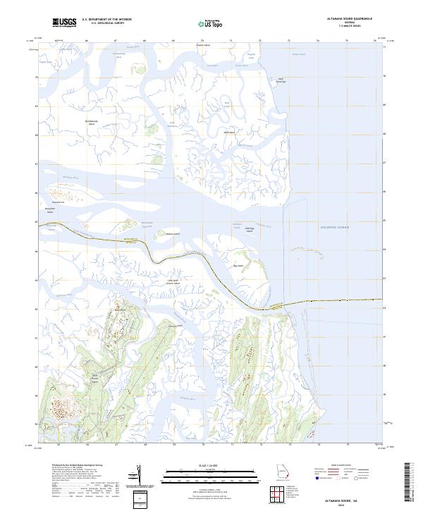
2024 Altamaha Sound
Glynn County, GA

2024 Bladen
Glynn County, GA
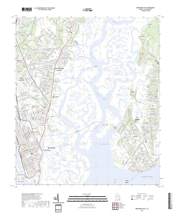
2024 Brunswick East
Glynn County, GA
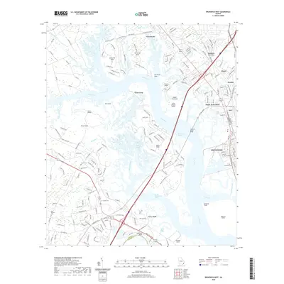
2024 Brunswick West
Glynn County, GA
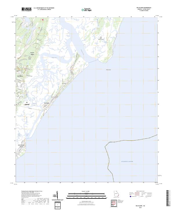
2024 Sea Island
Glynn County, GA
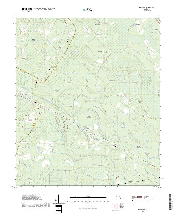
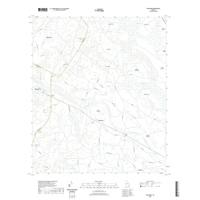
2024 Thalmann
Glynn County, GA