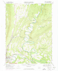
1968 Map of Everett East
USGS Topo · Published 1974About this map
The meandering Raystown Branch Juniata River dominates this portion of Bedford County, carving deep loops around landmarks like Hogback and Ritchey Knob. This landscape is defined by the parallel ridges of Tussey Mountain and Warrior Ridge, creating the distinct corridor of Snake Spring Valley. Settlement is concentrated in the borough of Everett, where the Everett Cemetery and Everett-Southern High School serve as local anchors alongside the Rivers Bend Country Club.
Find a feature on this map
54 named features on this map. Tap any name to fly to it.
Don’t see what you’re looking for? This feature index may not catch every label — zoom into the map to look around manually.
Map Details
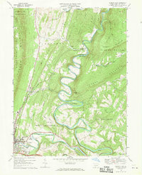
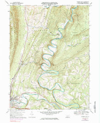
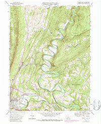
Editions of this 1968 Everett East Map
4 editions found
Other maps of this area

1900 · Everett
USGS Topo · 1:62,500

1902 · Everett
USGS Topo · 1:62,500

1925 · Needmore
USGS Topo · 1:48,000

1927 · Clearville
USGS Topo · 1:48,000

1930 · Broad Top
USGS Topo · 1:62,500

1931 · Clearville
USGS Topo · 1:62,500

1933 · Broad Top
USGS Topo · 1:62,500

1935 · Needmore
USGS Topo · 1:62,500

1939 · Needmore
USGS Topo · 1:62,500

1944 · Clearville
USGS Topo · 1:62,500
Featured Places
- Everett, PA
- West Providence Township, PA
- Tatesville, Hopewell Township
- East Providence Township, PA
- Cypher Beach, Broad Top Township