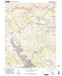
2022 Map of Evergreen
USGS Topo · Published 2022About this map
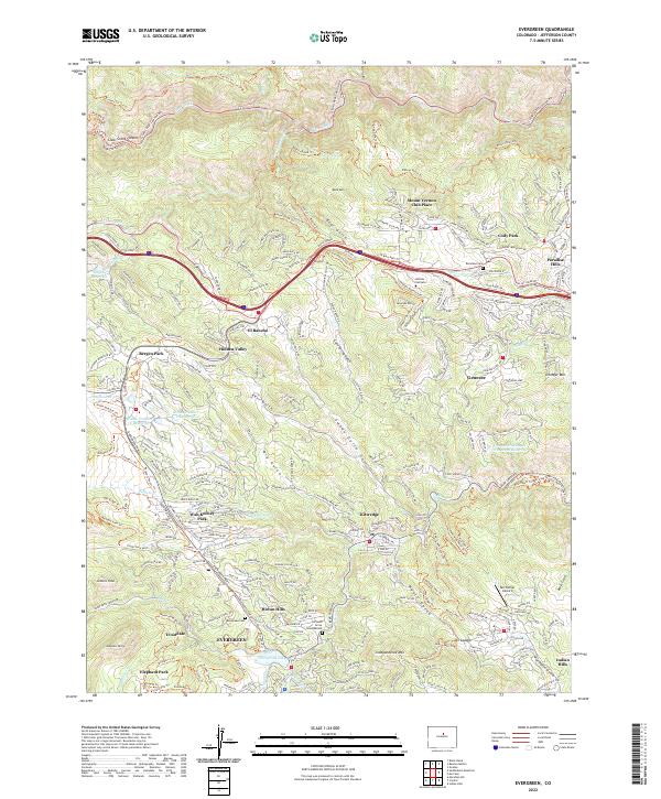
Evergreen stands as the central hub of this mountain landscape, situated where Bear Creek feeds into Evergreen Lake. The settlement pattern reflects significant residential expansion into the foothills, with established communities like Bergen Park, Kittredge, and Indian Hills connected by an intricate network of mountain roads and recreational paths. Traces of local history remain visible at the Rockland Church and the adjacent Rockland Cemetery to the north, while the Evergreen Cemetery and All Souls Grove Columbarium serve the southern neighborhoods.
Find a feature on this map
85 named features on this map. Tap any name to fly to it.
Don’t see what you’re looking for? This feature index may not catch every label — zoom into the map to look around manually.
Map Details
Editions of this 2022 Evergreen Map
This is the sole edition of this map. No revisions or reprints were ever made.
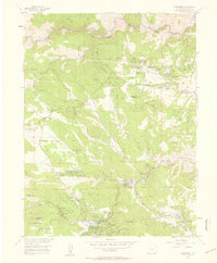
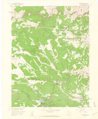
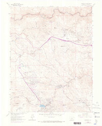
Historical Maps of Indians Hills Through Time
6 maps found