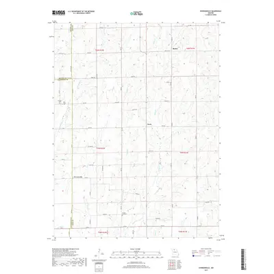
2017 Map of Eversonville
USGS Topo · Published 2017About this map
Eversonville and the surrounding rural landscape in North Central Missouri appear here defined by a dense network of creek valleys and the intersection of three counties. The terrain is deeply carved by watercourses including Smoky Cr, Parson Cr, and Little Muddy Cr, which dictate the placement of local roads and property boundaries. While much of the land remains agricultural, the map documents the persisting footprints of older crossroads settlements like Shafter and Hecla. Genealogists will find particular value in the clearly marked locations of the Van Horne Cem and Parsons Creek Cem, providing spatial context for family roots in this corner of Linn, Livingston, and Grundy counties. The road network, ranging from State Hwy DD to the unpaved grid of local routes like Auto Rd and Armor Rd, reflects the area's long-standing connection to regional trade and farming.
Find a feature on this map
47 named features on this map. Tap any name to fly to it.
Don’t see what you’re looking for? This feature index may not catch every label — zoom into the map to look around manually.
Map Details
Editions of this 2017 Eversonville Map
This is the sole edition of this map. No revisions or reprints were ever made.
Other maps of this area

1924 · Chula
USGS Topo · 1:62,500

1946 · Brookfield
USGS Topo · 1:62,500

1946 · Galt
USGS Topo · 1:62,500

1947 · Chula
USGS Topo · 1:62,500

1948 · Brookfield
USGS Topo · 1:62,500

1949 · Galt
USGS Topo · 1:62,500

1953 · Moberly
USGS Topo · 1:250,000

1954 · Centerville
USGS Topo · 1:250,000

1954 · Moberly
USGS Topo · 1:250,000

1957 · Moberly
USGS Topo · 1:250,000