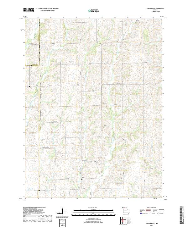
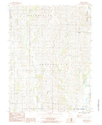
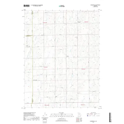
2021 Map of Eversonville
USGS Topo · Published 2021About this map
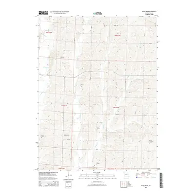
Eversonville serves as a central point in this rural Missouri landscape, situated at the junction of HWY B and HWY KK. The terrain is defined by a dense network of tributaries including Smoky Cr, Parson Cr, and Muddy Cr, which carve through the farmland of Linn, Livingston, and Grundy counties. Small, scattered communities like Shafter in the northeast and Hecla near the center illustrate the traditional settlement patterns of the region, where local life was oriented around crossroads and creek valleys. Genealogists can locate significant burial sites such as Van Horne Cem near the western boundary and Parsons Creek Cem further south. The map documents an intricate grid of rural routes with names like Argo Rd, Armor Rd, and Arbor Dr, reflecting a landscape dedicated to agriculture and interconnected by these long-standing country lanes.
Find a feature on this map
42 named features on this map. Tap any name to fly to it.
Don’t see what you’re looking for? This feature index may not catch every label — zoom into the map to look around manually.
Map Details
Editions of this 2021 Eversonville Map
This is the sole edition of this map. No revisions or reprints were ever made.
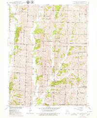
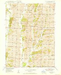
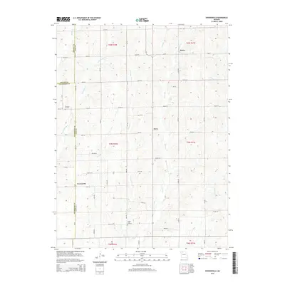
Historical Maps of Hecla Through Time
16 maps found
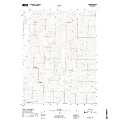
1949 Bucklin NW
Linn County, MO
1950 Bucklin NW
Linn County, MO
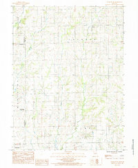
1984 Eversonville
Linn County, MO
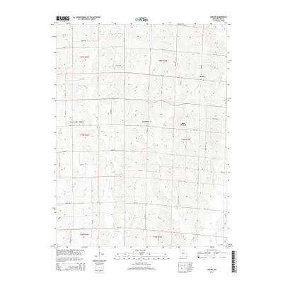
1984 Shelby
Linn County, MO
2012 Bucklin NW
Linn County, MO
2012 Eversonville
Linn County, MO
2012 Shelby
Linn County, MO
2014 Bucklin NW
Linn County, MO
2015 Eversonville
Linn County, MO
2015 Shelby
Linn County, MO
2017 Bucklin NW
Linn County, MO
2017 Eversonville
Linn County, MO
2017 Shelby
Linn County, MO
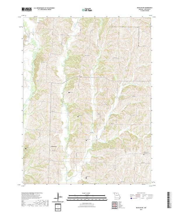
2021 Bucklin NW
Linn County, MO
2021 Eversonville
Linn County, MO
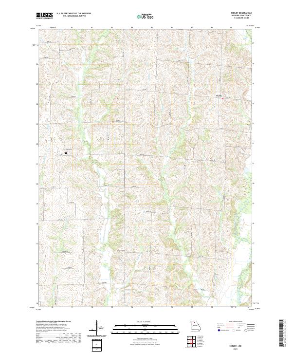
2021 Shelby
Linn County, MO